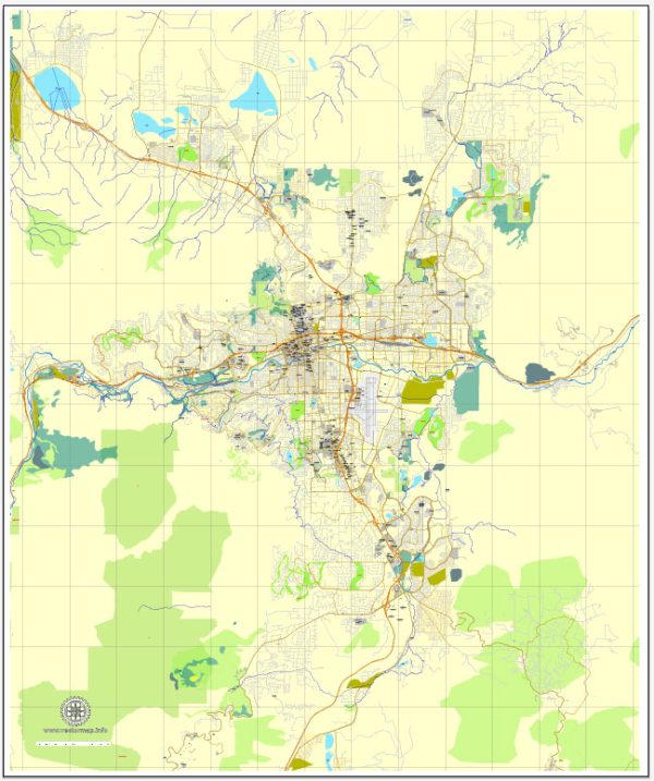
Reno, Nevada, is surrounded by some stunning natural landscapes and parks that offer a wide range of outdoor activities and opportunities for enjoying the natural beauty of the area. Here are descriptions of a few notable nature parks and areas in and around Reno:
- Lake Tahoe: While not technically in Reno, Lake Tahoe is a must-visit natural wonder just a short drive away. It’s the largest alpine lake in North America, renowned for its clear blue waters and surrounded by the Sierra Nevada Mountains. Visitors can enjoy activities such as hiking, biking, swimming, boating, and skiing in the winter.
- Tahoe National Forest: This national forest is known for its lush forests, pristine lakes, and abundant wildlife. It’s an excellent location for hiking, camping, fishing, and picnicking. The Pacific Crest Trail, which stretches from Mexico to Canada, also passes through this area.
- Galena Creek Regional Park: Located just a short drive from Reno, this park is a haven for outdoor enthusiasts. It offers hiking and mountain biking trails, a nature center, and is surrounded by beautiful forested areas. The park is an excellent place for bird-watching and wildlife observation.
- Mount Rose Wilderness Area: This area encompasses the highest peak in the Lake Tahoe Basin, Mount Rose. It’s a popular spot for hiking, with trails leading to stunning vistas and pristine alpine lakes. During the winter, the area is used for snowshoeing and backcountry skiing.
- Peavine Peak Recreation Area: This park is located within Reno city limits and offers a variety of outdoor activities, including hiking, mountain biking, and horseback riding. The park provides panoramic views of the surrounding desert and the city of Reno.
- Hunter Creek Trail: This trail, situated in the foothills of the Sierra Nevada, is popular among hikers and runners. It leads to a picturesque waterfall, and the path is shaded by towering trees, making it an ideal escape from the city’s hustle and bustle.
- Truckee River Walk: The Truckee River Walk is a scenic urban park that runs through the heart of downtown Reno. Visitors can enjoy a leisurely stroll along the river, bike along the dedicated paths, or relax in one of the many parks along the way.
These are just a few of the nature parks and areas in and around Reno, Nevada. Whether you’re into hiking, biking, water activities, or simply enjoying the serene beauty of the outdoors, the Reno area offers a range of options for nature lovers and outdoor enthusiasts.

 Author: Kirill Shrayber, Ph.D. FRGS