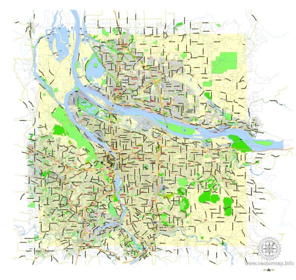
The Portland, Oregon, and Vancouver, Washington, metropolitan areas are blessed with numerous beautiful nature parks and outdoor recreational areas. Here are descriptions of some of the notable nature parks in these regions:
Portland, Oregon:
- Forest Park: Forest Park is one of the largest urban forests in the United States, covering more than 5,000 acres. It offers over 80 miles of hiking and biking trails through lush greenery and dense forests. The park is known for its rich biodiversity and stunning views of the Willamette River.
- Washington Park: Washington Park is a popular urban park that features a variety of attractions, including the Oregon Zoo, the International Rose Test Garden, the Japanese Garden, and the Hoyt Arboretum. Visitors can enjoy well-maintained gardens, scenic walking paths, and a range of cultural experiences.
- Mount Tabor Park: This park is situated on the dormant volcanic cinder cone of Mount Tabor and provides panoramic views of the city. It offers walking trails, picnic areas, and a reservoir that’s popular for birdwatching.
- Powell Butte Nature Park: Powell Butte is an extinct cinder cone volcano turned nature park on the eastern edge of Portland. It offers miles of hiking and biking trails through meadows and forests, with great views of Mount Hood and the surrounding landscape.
Vancouver, Washington:
- Vancouver Lake Regional Park: This park is located near the shores of Vancouver Lake and offers a range of outdoor activities, including picnicking, swimming, and boating. It’s a great spot for birdwatching and has several trails for hiking and cycling.
- Frenchman’s Bar Regional Park: Situated along the Columbia River, this park features sandy beaches, a boat launch, and picnic areas. It’s a fantastic place to watch boats go by and enjoy beautiful sunsets.
- Steigerwald Lake National Wildlife Refuge: Located near Washougal, just east of Vancouver, this wildlife refuge provides excellent opportunities for birdwatching and wildlife observation. It’s especially known for its wetlands and seasonal migrations.
- Lacamas Park: Lacamas Park is a lovely natural area with multiple interconnected trails, including the Lacamas Heritage Trail, which winds around Lacamas Lake. Visitors can enjoy hiking, picnicking, and even fishing in the lake.
Both regions have plenty of opportunities for outdoor enthusiasts to explore the beauty of the Pacific Northwest. Whether you’re looking for lush forests, scenic views, or water-based activities, there’s something for everyone in the Portland, Oregon, and Vancouver, Washington, area nature parks.


 Author: Kirill Shrayber, Ph.D. FRGS