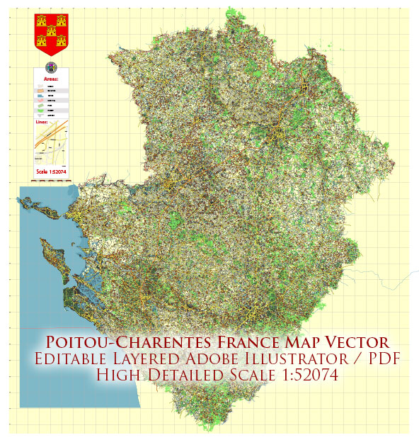
Poitou-Charentes is a former administrative region in western France. Now Poitou-Charentes no longer exists as an administrative region, having been merged into the larger administrative region of Nouvelle-Aquitaine in 2016. However, the area that was formerly Poitou-Charentes is home to several beautiful natural areas and parks. Here’s a description of some of the notable ones:
- Marais Poitevin: Also known as the “Green Venice,” the Marais Poitevin is a stunning marshland and wetland area known for its picturesque canals and lush green landscapes. It is a great place for boating, birdwatching, and exploring the unique flora and fauna.
- Île de Ré: Although not a national park, Île de Ré is a picturesque island known for its natural beauty. It features sandy beaches, salt marshes, and quaint villages, making it a popular destination for nature lovers and cyclists.
- Périgord-Limousin Regional Nature Park: While this park is primarily located in the Limousin region, parts of it extend into the former Poitou-Charentes region. This nature park is known for its diverse landscapes, including forests, rivers, and limestone plateaus. It’s a great place for hiking, cycling, and wildlife observation.
- Parc Naturel Régional de l’Estuaire de la Gironde: Located along the Gironde Estuary, this regional nature park features a mix of wetlands, mudflats, and forests. It provides habitat for various bird species and is a significant area for birdwatching and nature exploration.
- Rochefort Ocean: This area encompasses several natural sites, including the Fouras-les-Bains peninsula, the Brouage citadel, and the Hermione frigate. It offers a combination of coastal beauty and historical attractions, making it a unique destination for visitors interested in both nature and history.
It’s important to note that the administrative regions in France have changed, and some regional parks and protected areas may have different designations or boundaries in the merged Nouvelle-Aquitaine region. For the most up-to-date information on national parks and protected areas in the region, I recommend checking with local tourism authorities or official government websites.


 Author: Kirill Shrayber, Ph.D. FRGS