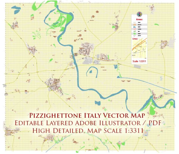
Pizzighettone is a charming town located in the Lombardy region of Italy, and while it may not have its own dedicated nature park, it is situated in an area surrounded by beautiful natural landscapes and outdoor recreational opportunities. Here’s a description of the natural attractions and parks in the vicinity of Pizzighettone:
- Adda River: Pizzighettone is situated on the banks of the Adda River, which offers picturesque views and opportunities for outdoor activities like walking, cycling, and picnicking along its shores. The river is a significant natural feature in the region, and it provides a serene environment for nature enthusiasts.
- Adda Nord Regional Park: This regional park is located not far from Pizzighettone, and it covers a vast area along the Adda River. The park features a variety of natural landscapes, including forests, wetlands, and meadows. It’s an excellent place for birdwatching, hiking, and enjoying the local flora and fauna.
- Oglio River Regional Park: Another nearby natural attraction is the Oglio River Regional Park, which is also a short drive from Pizzighettone. This park is centered around the Oglio River and offers hiking trails, birdwatching, and opportunities for water sports and fishing.
- Trezzo sull’Adda: Just a short drive from Pizzighettone, you can visit the town of Trezzo sull’Adda, which is known for its stunning historic bridge, the Ponte di Trezzo. The surrounding area provides a pleasant environment for leisurely walks and taking in the natural beauty of the region.
- Montevecchia and Curone Regional Park: Located a bit further to the south, Montevecchia and Curone Regional Park offers a hilly terrain with picturesque landscapes, making it a great destination for hiking and exploring the lush, green surroundings.
While Pizzighettone itself might not have a dedicated nature park, it serves as a gateway to these beautiful natural areas in the Lombardy region. Visitors to the town can enjoy the tranquil riverside atmosphere, and within a short drive, they can immerse themselves in the stunning natural beauty of the surrounding parks and landscapes.


 Author: Kirill Shrayber, Ph.D. FRGS