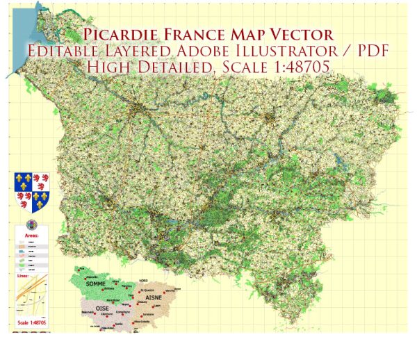
Picardie, a historic region in northern France, is not known for its national parks in the same way that some other regions of the country are famous for their protected natural areas. However, Picardie does have some beautiful natural landscapes and areas of interest for nature lovers and outdoor enthusiasts. While they may not be officially designated as “national parks,” there are several noteworthy natural and protected areas in Picardie that offer opportunities for exploration and appreciation of the region’s natural beauty.
- Marais Poitevin: Often referred to as the “Green Venice,” the Marais Poitevin is a unique and vast marshland located primarily in the Deux-Sèvres department of the Nouvelle-Aquitaine region. However, it does extend into the northern part of Picardie. This picturesque area is characterized by a network of canals and wetlands, making it a haven for birdwatching, boating, and hiking.
- Baie de Somme: The Baie de Somme is a stunning natural area along the Picardy coast, characterized by mudflats, dunes, and salt marshes. It is a designated natural reserve and is part of the larger Parc Naturel Régional de la Baie de Somme-Picardie Maritime. The Baie de Somme is a significant stopover point for migratory birds and offers fantastic birdwatching opportunities. It’s also a great place for hiking and exploring the unique coastal landscape.
- Parc Naturel Régional Oise-Pays de France: While not a national park, the Oise-Pays de France Regional Natural Park covers a portion of Picardie. This park is located near the city of Senlis and offers a mix of natural and cultural attractions. It is known for its beautiful forests, meadows, and historic sites.
- Vexin Français Regional Nature Park: This regional nature park is situated at the border of Picardie and Île-de-France, and it offers a mix of natural and cultural experiences. The park features rolling hills, forests, and charming villages, making it an attractive destination for outdoor enthusiasts and history buffs.
- The Picardy Coast: The coastline along the English Channel in Picardie is dotted with beautiful cliffs, beaches, and dunes. While not a national park, it’s a popular destination for those seeking coastal beauty, seafood, and water activities.
These natural areas and parks in Picardie offer opportunities for outdoor activities, wildlife observation, and a chance to connect with the region’s natural heritage. While they may not have the official designation of “national parks,” they are still worth exploring for their scenic beauty and ecological significance.


 Author: Kirill Shrayber, Ph.D. FRGS