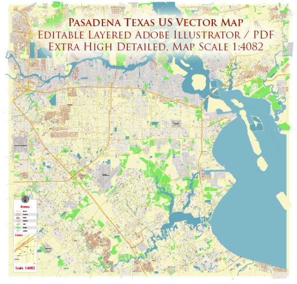
Pasadena, Texas, offers several nature parks and outdoor recreational opportunities for residents and visitors to enjoy. Here are descriptions of some of the notable nature parks in the area:
- Armand Bayou Nature Center: Armand Bayou Nature Center is a 2,500-acre urban wildlife sanctuary located in the Pasadena area. It provides a pristine natural environment for a variety of wildlife and plant species. Visitors can explore five unique ecosystems, including wetlands, prairies, and forests. The center offers hiking trails, boardwalks, and guided tours, making it an excellent destination for birdwatching, wildlife observation, and environmental education.
- Strawberry Park: Strawberry Park is a lovely community park in Pasadena with a focus on outdoor activities and family fun. It offers various amenities, including walking trails, picnic areas, playgrounds, and sports fields. The park is a popular spot for picnicking and casual outdoor recreation.
- Burke Crenshaw Park: Burke Crenshaw Park is a large park in Pasadena featuring a mix of natural and recreational areas. It has several miles of walking and biking trails, sports fields, a duck pond, and a playground. The park also hosts community events and has shaded areas for relaxation and picnicking.
- Bay Area Park: Bay Area Park, located nearby in Houston, offers a scenic setting along Armand Bayou. Visitors can enjoy fishing, birdwatching, and hiking along the nature trails. The park also has a boat ramp, making it accessible for water activities such as kayaking and canoeing.
- El Franco Lee Park: El Franco Lee Park, situated in nearby Harris County, features expansive green spaces, walking trails, a fishing pier, and picnic areas. The park is named after a former county commissioner and offers a serene environment for outdoor activities.
These nature parks in and around Pasadena, Texas, provide opportunities for both relaxation and outdoor recreation. Whether you’re interested in observing local wildlife, taking a leisurely stroll, or enjoying a picnic with family and friends, there are options to suit a variety of interests and preferences.


 Author: Kirill Shrayber, Ph.D. FRGS