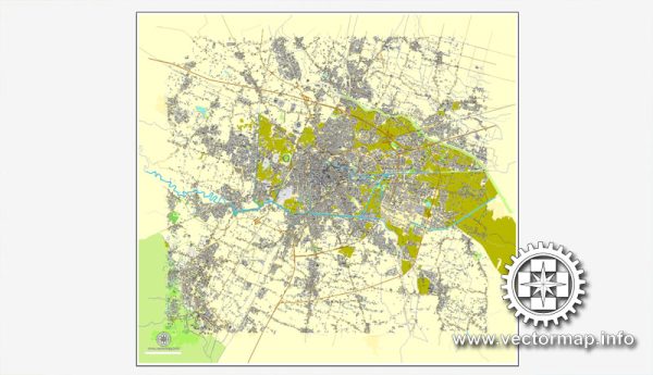
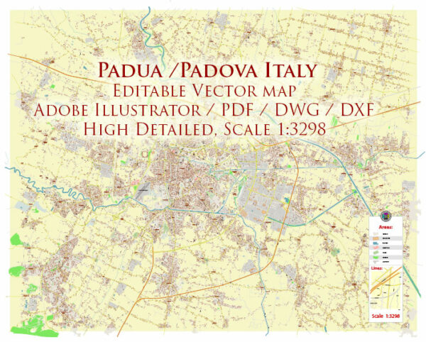
Padua, located in the Veneto region of northern Italy, offers a variety of nature parks and green spaces for residents and visitors to enjoy. While Padua is primarily known for its historical and cultural attractions, there are several beautiful parks and natural areas in and around the city that provide a peaceful escape from urban life. Here are some of the notable nature parks and green spaces in and around Padua:
- Parco del Neto: This urban park is located in the heart of Padua and is a favorite spot for locals to relax and enjoy some greenery. It features tree-lined pathways, open lawns, and a small pond. Parco del Neto is an ideal place for a leisurely walk, a picnic, or just a peaceful moment in the city.
- Parco Querini: This historical park is known for its beautiful botanical garden, which features a wide variety of plants and trees. It’s an excellent place for nature lovers and those interested in plant biodiversity. Parco Querini is also home to a neoclassical villa and a small museum.
- Parco Regionale dei Colli Euganei: While not located in Padua itself, the Euganean Hills Regional Park is a short drive from the city and offers a stunning natural escape. The park is characterized by rolling hills, lush forests, and hot springs. It’s a perfect destination for hiking, cycling, and enjoying panoramic views of the surrounding countryside.
- Parco Villa Draghi: This park is situated in the nearby town of Montegrotto Terme, which is famous for its thermal baths. Parco Villa Draghi is a serene and well-maintained garden surrounding a historic villa. It’s an ideal place for a leisurely stroll and admiring the well-manicured greenery.
- Parco d’Inverno: Located along the riverbanks of the Brenta River, this park provides a tranquil environment for a riverside walk or a picnic. The park features tree-lined paths and benches where you can relax and enjoy the peaceful ambiance.
- Parco Naturalistico La Sorgente: This nature park is found in the town of Teolo, not far from Padua. It’s a great spot for hiking and exploring the natural beauty of the region. The park is known for its lush vegetation, streams, and small waterfalls.
These are just a few of the nature parks and green spaces in and around Padua, Italy. They offer opportunities for relaxation, outdoor activities, and a chance to connect with the natural beauty of the region while exploring the city’s rich cultural heritage.


 Author: Kirill Shrayber, Ph.D. FRGS