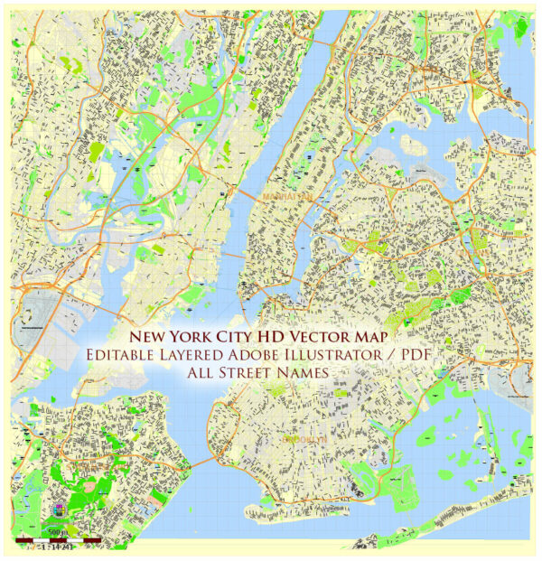
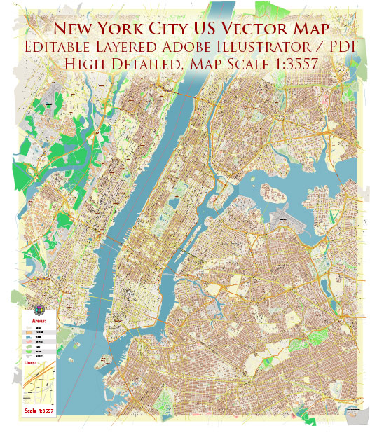
New York City, despite its reputation as a bustling urban metropolis, offers several natural parks and green spaces where residents and visitors can escape the hustle and bustle of city life and connect with nature. Here are some notable nature parks and green spaces in New York City:
- Central Park:
- Central Park is perhaps the most famous green space in the city. It covers 843 acres in the heart of Manhattan and features a wide range of natural landscapes, including woodlands, meadows, lakes, and rock formations.
- Visitors can enjoy activities such as walking, jogging, biking, picnicking, rowing on the lake, and exploring various trails.
- The park is also home to the Central Park Zoo and the Central Park Conservatory Garden, providing a diverse range of natural experiences within the city.
- Prospect Park:
- Located in Brooklyn, Prospect Park spans 526 acres and offers a more serene and natural environment.
- The park features a lake, a forested area, the Prospect Park Audubon Center, and the Brooklyn Botanic Garden on its eastern edge.
- Visitors can explore the Long Meadow, a vast open space perfect for picnics and outdoor sports, and take leisurely strolls along tree-lined paths.
- The High Line:
- The High Line is a unique urban park built on a former elevated railway track on Manhattan’s west side.
- This park offers a combination of greenery, art installations, and elevated views of the city.
- It’s known for its beautifully landscaped gardens, pathways, and seating areas, making it a peaceful escape from the city’s streets.
- Inwood Hill Park:
- Located at the northern tip of Manhattan, Inwood Hill Park is one of the city’s natural gems.
- It features hiking trails, a salt marsh, and the last remaining natural forest in Manhattan.
- The park offers stunning views of the Hudson River and opportunities for bird-watching and exploring Native American history, with several historical markers.
- Jamaica Bay Wildlife Refuge:
- Situated in Queens, the Jamaica Bay Wildlife Refuge is a haven for birdwatchers and nature enthusiasts.
- The park is home to diverse bird species and offers a serene environment for wildlife observation.
- There are several hiking trails, boardwalks, and observation platforms that allow visitors to get closer to the natural beauty of the area.
- Staten Island Greenbelt:
- The Staten Island Greenbelt is a collection of interconnected parks and natural areas on Staten Island.
- It covers over 2,800 acres and features hiking trails, forests, wetlands, and a variety of wildlife.
- The Greenbelt is a great place for hiking, birding, and enjoying the serenity of nature.
These are just a few of the natural parks and green spaces you can explore within New York City. Each of these areas provides a welcome escape from the urban environment, allowing residents and tourists to enjoy the beauty of nature within the city’s boundaries.

 Author: Kirill Shrayber, Ph.D. FRGS