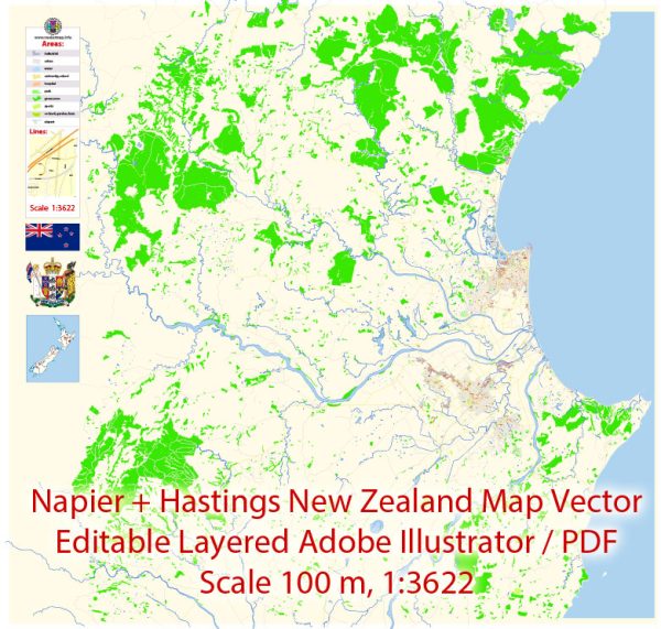
Napier and Hastings, located on the eastern coast of New Zealand’s North Island, are part of the Hawke’s Bay region. While there may not be specific nature parks in these cities, the surrounding region offers a wealth of natural beauty and outdoor recreational opportunities. Here are some notable natural attractions and parks in and around Napier and Hastings:
- Cape Kidnappers: Located to the southeast of Napier, Cape Kidnappers is a dramatic headland known for its stunning cliffs and unique rock formations. It’s a popular spot for hiking and birdwatching, especially for the gannet colony that resides there.
- Te Mata Peak: Located near Hastings, Te Mata Peak is an iconic natural landmark that provides panoramic views of the Hawke’s Bay region. There are hiking and mountain biking trails for outdoor enthusiasts, and the area is known for its diverse flora and fauna.
- Eskdale Mountain Bike Park: Situated just a short drive from Napier, this park is a paradise for mountain bikers, featuring a network of trails for various skill levels. The park offers opportunities to explore the natural beauty of the region while enjoying outdoor adventures.
- Hawke’s Bay Trails: These trails are a network of cycleways and walking paths that allow visitors to explore the region’s diverse landscapes, including wineries, orchards, rivers, and coastal areas. You can rent bikes or go on leisurely walks to appreciate the natural beauty and cultural attractions in the area.
- Waitangi Regional Park: Located along the coast near Awatoto, Waitangi Regional Park features beautiful beaches, dunes, and wetlands. It’s a great place for picnicking, swimming, or simply enjoying the coastal environment.
- Ahuriri Estuary: Close to Napier, the Ahuriri Estuary is a haven for birdwatchers and nature enthusiasts. The estuary provides a habitat for a variety of bird species, and you can explore the wetlands on walking trails or from birdwatching hides.
- Tuki Tuki River: This picturesque river flows through the Hawke’s Bay region and offers opportunities for fishing, kayaking, and leisurely riverside walks. The river is surrounded by lush countryside and vineyards.
These natural attractions and outdoor recreational opportunities make Napier and Hastings and the surrounding Hawke’s Bay region an excellent destination for nature lovers and outdoor enthusiasts. While there may not be specific “nature parks” in the traditional sense, the area is rich in natural beauty and offers a wide range of activities to enjoy the outdoors.


 Author: Kirill Shrayber, Ph.D. FRGS