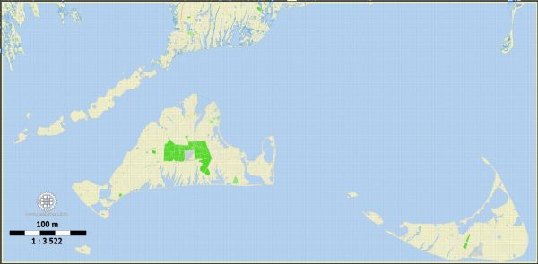
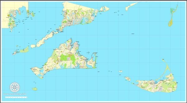
Nantucket and Martha’s Vineyard are two beautiful islands located off the coast of Massachusetts, USA. These islands are known for their picturesque landscapes, charming towns, and a rich maritime history. Here’s a brief description of the waterways surrounding these islands:
- Nantucket:
- Nantucket is situated about 30 miles south of Cape Cod, Massachusetts.
- To the south, Nantucket is surrounded by the Atlantic Ocean, offering stunning coastal views and sandy beaches.
- Nantucket Sound lies to the west, and it serves as a popular area for boating and sailing.
- Nantucket Harbor is a well-protected natural harbor on the north side of the island, offering a safe anchorage for boats and ferries that arrive from the mainland.
- Martha’s Vineyard:
- Martha’s Vineyard is located a few miles west of Nantucket, also off the coast of Cape Cod.
- The island is surrounded by the Atlantic Ocean to the south and the Vineyard Sound to the north, providing opportunities for swimming, surfing, and fishing.
- Vineyard Haven Harbor, on the northern coast, is a popular destination for boaters and sailors. It serves as one of the island’s primary entry points for ferries coming from Cape Cod.
- Edgartown Harbor, on the eastern side of the island, is another picturesque harbor where you can find boats and yachts anchored.
Both Nantucket and Martha’s Vineyard have a strong maritime tradition and are well-loved for their coastal activities, including sailing, fishing, and beachcombing. The islands offer a unique blend of natural beauty, historic charm, and a vibrant seaside culture, making them popular summer destinations for tourists and a favorite getaway for residents of the region.


 Author: Kirill Shrayber, Ph.D. FRGS