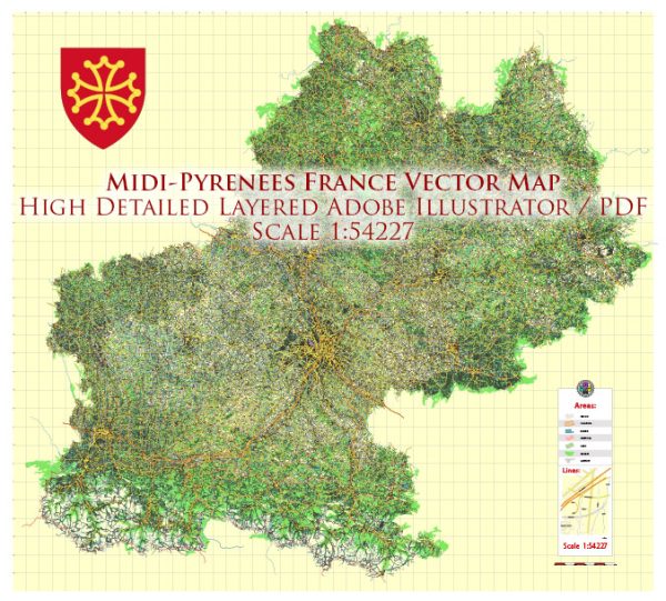
The Midi-Pyrénées region, now part of the larger Occitanie region in southern France, is home to several beautiful national parks that showcase the diverse landscapes of the area. These parks offer a range of outdoor activities and stunning natural scenery. Here are descriptions of some of the prominent national parks in Midi-Pyrénées:
- Pyrénées National Park (Parc National des Pyrénées):
- Location: This park is located in the southwestern part of Midi-Pyrénées, bordering Spain in the Pyrenees Mountains.
- Description: Pyrénées National Park is the oldest national park in France and covers a vast area of pristine wilderness, with rugged peaks, lush valleys, and a rich variety of flora and fauna. Visitors can explore diverse ecosystems, from high mountain landscapes to lower-altitude forests. There are numerous hiking trails, and it’s a haven for nature lovers and wildlife enthusiasts.
- Cévennes National Park (Parc National des Cévennes):
- Location: Situated in the southern part of the Midi-Pyrénées region and the adjacent Languedoc-Roussillon region.
- Description: Cévennes National Park is known for its picturesque limestone plateaus, deep gorges, and forests. The park is famous for its extensive network of hiking trails, including parts of the Robert Louis Stevenson Trail, which offers a unique trekking experience. The park’s diverse landscapes and rich biodiversity make it an ideal destination for outdoor activities and nature exploration.
- Périgord-Limousin Regional Nature Park (Parc naturel régional Périgord-Limousin):
- Location: This regional nature park spans across parts of Midi-Pyrénées, Aquitaine, and Limousin regions.
- Description: Although not a national park, Périgord-Limousin is a designated regional nature park that features a blend of rolling hills, rivers, and forests. It is known for its historic villages, prehistoric sites, and charming countryside. Visitors can enjoy hiking, fishing, and exploring the rich cultural heritage of the region.
- Haut-Languedoc Regional Nature Park (Parc naturel régional du Haut-Languedoc):
- Location: Situated in the southeastern part of Midi-Pyrénées, this park extends into the Occitanie region.
- Description: Haut-Languedoc Regional Nature Park is a mosaic of landscapes, including mountains, lakes, forests, and high plateaus. The park is a great destination for outdoor activities such as hiking, mountain biking, and water sports on its many lakes. It also boasts a unique geology, with the Sidobre granite formations attracting geology enthusiasts.
These national parks and regional nature parks in the Midi-Pyrénées region offer a wide range of natural and cultural experiences, making them ideal destinations for outdoor enthusiasts, hikers, nature lovers, and those interested in exploring the rich history and heritage of the region. Each park has its own unique charm and attractions, making it worth exploring for a more in-depth experience of this beautiful part of France.


 Author: Kirill Shrayber, Ph.D. FRGS