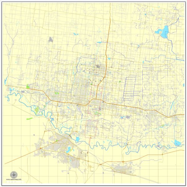
McAllen, Texas, is home to several nature parks and outdoor spaces that offer opportunities for outdoor recreation and enjoyment of the natural beauty of the area. Here are some of the notable nature parks in and around McAllen:
- Bentsen-Rio Grande Valley State Park: This park is part of the World Birding Center network and is a popular destination for birdwatchers and nature enthusiasts. It features a variety of habitats, including woodlands, wetlands, and the Rio Grande River, making it a prime spot for observing wildlife, including numerous bird species. There are walking trails, bird blinds, and educational programs available for visitors.
- Quinta Mazatlán: Known as the “McAllen Mansion,” this historical site features a Spanish Revival-style mansion surrounded by lush gardens and native vegetation. Visitors can explore walking trails, birding areas, and attend educational programs and events.
- Anzalduas Park: Situated along the Rio Grande River, this park offers beautiful views of the river and Mexico on the opposite bank. It has picnic areas, walking trails, and a boat ramp, making it a great place for family outings and outdoor activities.
- Fireman’s Park: This urban park in McAllen features a man-made lake with paddleboats and fishing areas. It’s a popular spot for picnics, jogging, and leisurely walks.
- Bill Schupp Park: This park offers a variety of recreational amenities, including sports fields, a skate park, playgrounds, and walking trails. It’s a great place for families to enjoy outdoor activities.
- McAllen Nature Center: Located within the 20-acre Quinta Mazatlán estate, this center focuses on environmental education and conservation. It offers interpretive nature trails and educational programs for visitors of all ages.
- The John Austin Peña Park: This park features sports facilities like basketball courts and soccer fields, making it a great spot for sports enthusiasts. It also has walking paths and open spaces for outdoor leisure.
- Westside Park: Another urban park in McAllen with sports fields, a playground, and walking trails, offering a place for recreation and relaxation.
- Los Encinos Park: This park has a playground, picnic tables, and a walking path, providing a serene setting for outdoor activities.
McAllen’s nature parks offer a range of outdoor experiences, from birdwatching and wildlife observation to family-friendly picnics and sports activities. These parks provide a welcome escape from the urban environment and allow residents and visitors to connect with the natural beauty of South Texas.


 Author: Kirill Shrayber, Ph.D. FRGS