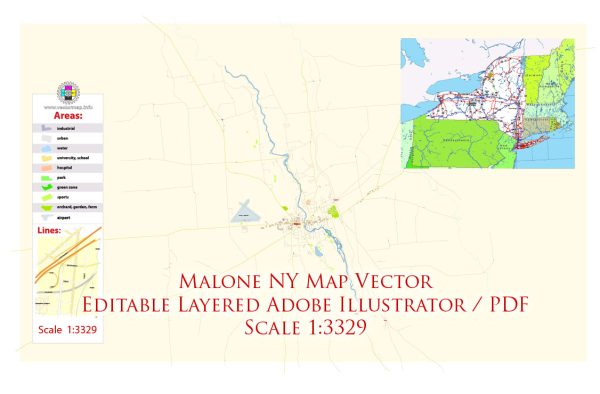
Malone, New York, is a beautiful area in the northern part of the state, known for its natural beauty and outdoor recreational opportunities. While Malone itself may not have a specific nature park within its city limits, there are several stunning natural areas and parks in the surrounding region that are easily accessible to residents and visitors. Here are a few notable ones:
- Adirondack Park: Malone is located in the northern part of the Adirondack Park, which is the largest publicly protected area in the contiguous United States. This park is known for its pristine wilderness, diverse ecosystems, and numerous opportunities for outdoor activities, including hiking, camping, fishing, and wildlife viewing.
- Titus Mountain Family Ski Center: Titus Mountain is a popular destination for winter sports enthusiasts, offering skiing and snowboarding during the colder months. In the summer, it provides hiking and mountain biking trails. The mountain provides panoramic views of the surrounding landscape.
- Meacham Lake State Campground: Located about 15 miles west of Malone, Meacham Lake State Campground is a serene destination for camping, fishing, and paddling. The campground is situated on the shores of Meacham Lake, providing access to various water-based activities.
- Salmon River State Forest: This state forest is located to the east of Malone and offers excellent opportunities for hiking, bird watching, and picnicking. The forest is home to the Salmon River, which is known for its fishing and scenic beauty.
- Azure Mountain: Azure Mountain is a small mountain located near Malone, which offers a relatively short but rewarding hike to its summit. Once at the top, hikers are rewarded with panoramic views of the surrounding forests and lakes.
- Deer River State Forest: Located northeast of Malone, Deer River State Forest is a beautiful area for hiking, wildlife observation, and enjoying the natural surroundings.
- Chateaugay State Forest: To the west of Malone, Chateaugay State Forest is another location for those who enjoy hiking and exploring wooded areas.
These natural areas and parks offer a wide range of outdoor activities, making Malone a great destination for nature enthusiasts and outdoor adventurers. Whether you’re interested in hiking, camping, fishing, or simply enjoying the serene beauty of the Adirondack region, Malone and its surroundings have much to offer in terms of natural experiences.


 Author: Kirill Shrayber, Ph.D. FRGS