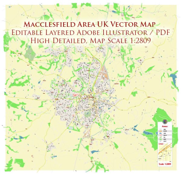
Macclesfield, located in Cheshire East, UK, is surrounded by beautiful countryside and offers several nature parks and reserves for residents and visitors to enjoy. Here are some of the notable ones:
- Teggs Nose Country Park: Teggs Nose Country Park is one of Macclesfield’s most popular outdoor destinations. It offers stunning views of the Cheshire Plain and the Peak District, making it a favorite spot for hikers and nature enthusiasts. The park features a network of well-marked trails for walking and hiking, including a geological trail that explores the area’s unique rock formations. It’s also a great place for picnicking and wildlife watching.
- Macclesfield Riverside Park: Located along the banks of the River Bollin, Macclesfield Riverside Park is a tranquil green space with walking paths, picnic areas, and plenty of opportunities for birdwatching. It’s a great place for a leisurely stroll and a peaceful escape from the bustle of the town.
- West Park, Macclesfield: West Park is a classic urban park that provides a green oasis in the heart of Macclesfield. The park features well-maintained lawns, flower gardens, a playground for children, and a lake where you can spot ducks and swans. It’s a lovely place to relax and have a picnic.
- Blaze Farm: Blaze Farm is not exactly a nature park, but it’s a working farm and ice cream parlour located a short drive from Macclesfield. Here, you can experience the rural countryside, visit with farm animals, and enjoy delicious homemade ice cream. It’s a great family-friendly destination.
- Macclesfield Forest and the Trentabank Reservoir: Macclesfield Forest is a large forested area surrounding Trentabank Reservoir, which is known for its serene atmosphere and scenic beauty. It’s a great spot for forest walks and wildlife sightings, including a variety of bird species. The forest has numerous walking trails and opportunities for exploration.
- Langley Conservation Area: Langley Conservation Area is a designated area of importance for its natural beauty. It’s a great place for hiking and exploring the local flora and fauna. The area is characterized by its lush woodlands and meadows.
These nature parks and reserves in and around Macclesfield offer a diverse range of outdoor experiences, from peaceful walks and picnics to more challenging hikes and wildlife observation. They provide an opportunity to connect with nature and enjoy the natural beauty of the Cheshire countryside.


 Author: Kirill Shrayber, Ph.D. FRGS