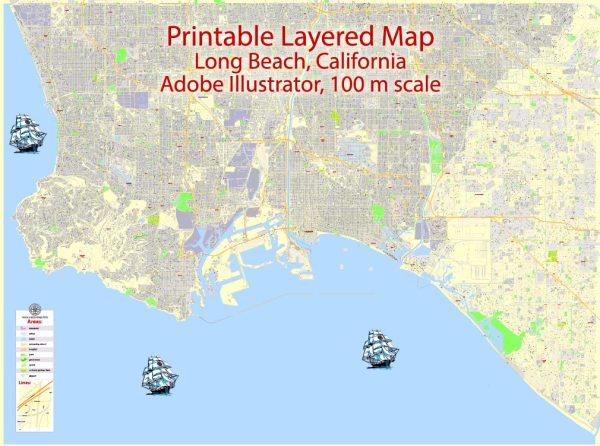
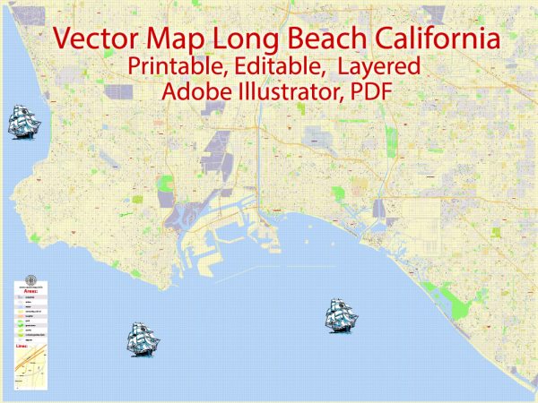
Long Beach, California, offers several beautiful nature parks and outdoor spaces that allow residents and visitors to connect with nature, explore diverse landscapes, and enjoy outdoor activities. Here are some of the notable nature parks in the Long Beach area:
- El Dorado Regional Park: El Dorado Park is one of Long Beach’s largest and most popular parks. It covers over 800 acres and features a serene nature center, a picturesque lake, and numerous walking and biking trails. The park is home to a variety of wildlife and offers opportunities for picnicking, fishing, and birdwatching.
- Los Cerritos Wetlands: This coastal wetland area is a vital habitat for migratory birds and various marine life. It’s a great place for nature enthusiasts and birdwatchers to observe the local wildlife. The area includes walking trails and educational opportunities to learn about the importance of preserving wetland ecosystems.
- Colorado Lagoon: This scenic lagoon is a peaceful escape right in the heart of Long Beach. It’s an excellent spot for kayaking, paddleboarding, and picnicking. There’s a playground for kids, making it a family-friendly destination.
- Signal Hill Park: Signal Hill is known for its panoramic views of Long Beach and the surrounding areas. The park is popular with hikers, as it offers several trails that lead to the summit, where you can enjoy stunning vistas of the coastline and the city.
- Scherer Park: Scherer Park is a lovely green space with playgrounds, picnic areas, and walking trails. It’s a great place for a leisurely stroll, a family picnic, or some relaxation amidst nature.
- DeForest Park: DeForest Park offers a blend of sports facilities and green spaces. It has baseball fields, tennis courts, and a playground. You can also take a leisurely walk through the park’s tree-lined paths.
- Whaley Park: Whaley Park is another pleasant green space in Long Beach. It’s an ideal spot for picnics, sports, and relaxation. The park features open grassy areas and walking paths for visitors to enjoy.
- Heartwell Park: This park is known for its large open spaces and sports amenities, including tennis courts and a golf course. It’s a popular destination for outdoor activities and family gatherings.
- Marine Stadium: Located along the shore, Marine Stadium is a popular spot for water sports and events. You can watch boat races, rowing competitions, and enjoy the waterfront ambiance.
- Hilltop Park: Hilltop Park offers commanding views of Long Beach and is known for its colorful gardens. It’s an excellent location for a peaceful walk and enjoying the beauty of local flora.
These nature parks in Long Beach offer a wide range of outdoor experiences and are perfect for those looking to escape the city’s hustle and bustle while appreciating the natural beauty of Southern California. Whether you’re interested in hiking, birdwatching, water sports, or simply relaxing in a peaceful environment, you’ll find something to enjoy in Long Beach’s nature parks.


 Author: Kirill Shrayber, Ph.D. FRGS