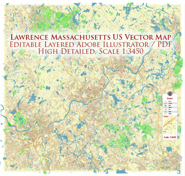
Lawrence, Massachusetts, is not particularly known for its nature parks, as it is an urban area with a strong industrial history. However, there are a few nearby natural areas and parks that residents and visitors can enjoy. Here are some of the notable ones:
- Den Rock Park: Located in nearby Methuen, Den Rock Park offers a natural escape with hiking trails, a river, and beautiful woodland scenery. It’s a popular spot for outdoor enthusiasts who enjoy walking, birdwatching, and picnicking.
- Winnekenni Park: Also situated in Haverhill, Winnekenni Park is a large green space with a pond and walking trails. It’s a great place for a leisurely stroll, and you can often see people fishing, flying kites, or having a picnic.
- The Spicket River Greenway: This urban greenway in Lawrence itself provides a pleasant area to take a walk along the riverbanks and enjoy some greenery within the city. It’s a nice spot for a peaceful escape in an otherwise urban environment.
- Merrimack Valley Essex County Greenway: Stretching along the Merrimack River, this greenway offers a scenic route for walking, biking, and enjoying the river views. While it’s not a traditional park, it’s a valuable natural resource for the region.
- Harold Parker State Forest: A bit further from Lawrence, Harold Parker State Forest in Andover offers a wide range of outdoor activities, including hiking, mountain biking, camping, and fishing. It’s a great destination for a day trip to experience more extensive natural surroundings.
These parks and natural areas provide opportunities for residents and visitors in Lawrence to connect with nature and enjoy outdoor activities, even though the city itself is largely urban and industrial in character.


 Author: Kirill Shrayber, Ph.D. FRGS