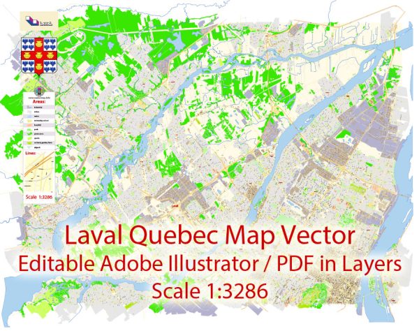
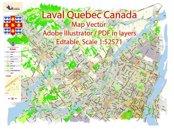
Laval, Quebec, Canada is home to several beautiful nature parks and green spaces that offer a respite from the city’s urban environment. Here are some descriptions of a few notable nature parks in Laval:
- Parc de la Rivière-des-Mille-Îles:
- Located in the northern part of Laval, this park is situated along the Rivière des Mille-Îles and is part of a larger network of protected natural areas.
- The park features wetlands, forests, and marshes, making it an ideal destination for birdwatching and wildlife observation.
- Visitors can explore the park’s trails, go kayaking or canoeing on the river, and learn about the local ecosystem at the interpretation center.
- Parc de la Rivière-des-Prairies:
- This park is situated along the Rivière des Prairies in the western part of Laval.
- It offers various recreational activities, including hiking, picnicking, and fishing.
- The park also has a beautiful beach area where visitors can swim and enjoy the sun during the summer months.
- Parc-nature de l’île-de-la-Visitation:
- Located in the eastern part of Laval, this park is on the island of Montreal, just across the Rivière des Prairies.
- The park boasts historical significance and natural beauty. It features walking and cycling trails, gardens, and a historical site, including a renovated water mill.
- The peaceful ambiance makes it an ideal spot for a leisurely stroll or a family outing.
- Parc des Prairies:
- Situated in the central-western part of Laval, Parc des Prairies offers a mix of natural and recreational areas.
- It features walking trails, a playground, and open green spaces for picnics and outdoor sports.
- The park provides a serene environment for visitors to relax and enjoy the surrounding nature.
- Bois de l’Équerre:
- Located in the northeastern part of Laval, Bois de l’Équerre is a forested area with numerous trails and a variety of native flora and fauna.
- Visitors can explore the forest, go for a hike, or observe wildlife.
- The park is a great place for those looking for a quiet and immersive nature experience.
These nature parks in Laval provide opportunities for outdoor activities, wildlife observation, and relaxation, allowing residents and visitors to connect with the natural beauty of the region while escaping the hustle and bustle of the city.


 Author: Kirill Shrayber, Ph.D. FRGS