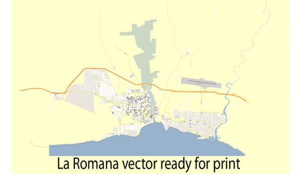
La Romana, located in the Dominican Republic, is known for its stunning natural beauty and offers several nature parks and attractions for outdoor enthusiasts and nature lovers to explore. Here are descriptions of some of the prominent nature parks in the La Romana region:
- East National Park (Parque Nacional del Este):
- East National Park is a protected area that covers a vast expanse of pristine coastal and marine ecosystems. It is known for its diverse range of flora and fauna, including tropical forests, mangroves, coral reefs, and various bird species.
- Visitors can explore hiking trails through the lush forests and enjoy panoramic views of the Caribbean Sea. Snorkeling and diving opportunities are abundant, with the park’s underwater world featuring colorful coral formations and marine life.
- The park also includes the beautiful Saona Island, which is a popular destination for day trips with its white sandy beaches and crystal-clear waters.
- Altos de Chavón:
- While not a traditional nature park, Altos de Chavón is a picturesque Mediterranean-style village perched on a hill overlooking the Chavón River. The village features cobblestone streets, artisan shops, galleries, and charming architecture.
- Visitors can explore the stunning architecture and enjoy the beautiful views of the surrounding landscapes. It’s a popular spot for artists and art enthusiasts.
- Cueva de las Maravillas (Cave of Wonders):
- Cueva de las Maravillas is a natural cave system located in San Pedro de Macorís, near La Romana. The cave is renowned for its impressive stalactites, stalagmites, and underground lakes.
- Guided tours take visitors through the cave’s chambers, where they can witness the mesmerizing rock formations and learn about the cave’s geological and historical significance.
- Isla Catalina (Catalina Island):
- Isla Catalina is an idyllic island located off the coast of La Romana, known for its pristine beaches and clear waters. It’s a popular spot for snorkeling and scuba diving, as the surrounding coral reefs are teeming with marine life.
- Visitors can relax on the beaches, take part in water sports, and explore the island’s natural beauty. Some tours also include opportunities to visit the “Aquarium,” a popular snorkeling site with an abundance of colorful fish.
- National Park of the East – West Side (Parque Nacional del Este – Lado Oeste):
- This is the western section of the East National Park, and it offers unique natural attractions. It’s home to the La Cueva de Berna, a cave known for its Taino petroglyphs and bat populations.
- Hiking trails in this area allow visitors to explore the park’s diverse ecosystems, including dry forests, mangroves, and limestone formations.
These nature parks and attractions in La Romana provide opportunities to experience the region’s natural beauty, wildlife, and outdoor activities while enjoying the Dominican Republic’s warm and tropical climate. Whether you’re interested in exploring caves, hiking, snorkeling, or simply relaxing on beautiful beaches, La Romana offers a wide range of options for nature enthusiasts.


 Author: Kirill Shrayber, Ph.D. FRGS