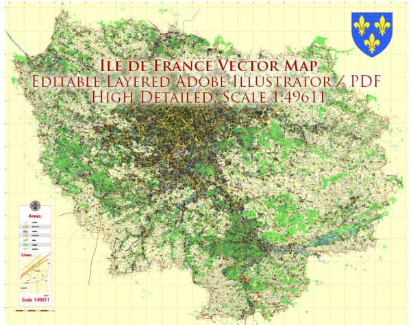
Ile-de-France is the most populous administrative region in France and is located in the north-central part of the country, encompassing the greater Paris metropolitan area. While Ile-de-France is primarily known for its bustling cities, historical landmarks, and cultural attractions, it is not known for vast national parks in the traditional sense. However, there are some natural and protected areas within the region that offer a respite from the urban environment. Here are a few notable ones:
- Fontainebleau Forest (Forêt de Fontainebleau): Located to the southeast of Paris, the Fontainebleau Forest is a vast woodland area covering about 28,000 hectares. While it’s not a national park, it is a popular destination for outdoor enthusiasts, hikers, and rock climbers. The forest features sandstone boulders and rocky outcrops that make it a great spot for bouldering and rock climbing.
- Vexin Regional Nature Park (Parc Naturel Régional du Vexin Français): This regional nature park is situated on the northern edge of Ile-de-France, near the border with Normandy and the Hauts-de-France region. It offers a mix of natural beauty and cultural heritage with its charming villages, rolling hills, and the meandering River Seine.
- Chevreuse Valley Regional Nature Park (Parc Naturel Régional de la Haute Vallée de Chevreuse): Located to the southwest of Paris, this regional nature park includes parts of the Chevreuse Valley and offers a scenic and peaceful environment, ideal for hiking and exploring nature. The park encompasses various types of landscapes, from forests to open meadows.
- Oise-Pays de France Regional Nature Park (Parc Naturel Régional Oise-Pays de France): Situated to the north of Paris, this regional nature park covers an area rich in history and nature. It is home to a variety of landscapes, including forests, wetlands, and charming villages.
While these areas are not national parks in the traditional sense with large protected wilderness areas, they do provide a break from the urban environment and offer opportunities for outdoor activities and enjoying nature. Visitors to Ile-de-France can explore these regional parks and other natural areas while still being close to the cultural and historical attractions of Paris and its surroundings.


 Author: Kirill Shrayber, Ph.D. FRGS