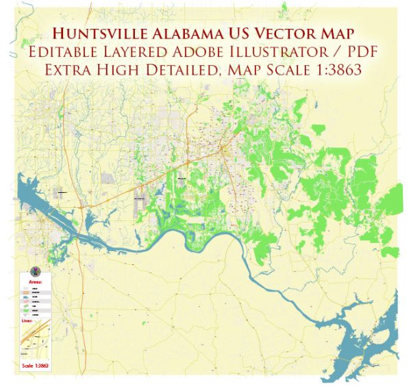
Huntsville, Alabama, is not home to any national parks, but there are several beautiful natural areas and outdoor attractions in and around the city. While Huntsville itself doesn’t have a national park, the following are some noteworthy outdoor destinations and state parks in the region:
- Monte Sano State Park: Located just a few miles from downtown Huntsville, Monte Sano State Park offers hiking trails, picnicking areas, and breathtaking views of the Tennessee Valley. The park features over 20 miles of hiking and biking trails, making it a popular spot for outdoor enthusiasts.
- Wheeler National Wildlife Refuge: This extensive wildlife refuge spans across the Tennessee River and offers a wide range of outdoor recreational activities, including birdwatching, hiking, and wildlife photography. It’s an excellent place for nature lovers to observe migratory birds and other wildlife.
- Bankhead National Forest: While not in Huntsville itself, Bankhead National Forest is a little over an hour’s drive to the northwest. It’s a beautiful forested area with hiking trails, waterfalls, and opportunities for camping, fishing, and horseback riding.
- Land Trust of North Alabama: The Land Trust of North Alabama preserves and maintains several natural areas and trail systems around Huntsville. Some popular locations include the Wade Mountain Nature Preserve and Blevins Gap Nature Preserve, which offer hiking, wildlife viewing, and beautiful scenery.
- Green Mountain Nature Preserve: Located on the southern edge of Huntsville, Green Mountain Nature Preserve offers hiking trails and panoramic views of the city and the Tennessee River.
These natural areas and parks provide a variety of opportunities for outdoor activities and enjoying the natural beauty of the Huntsville region. While they are not national parks, they are certainly worth exploring for those who appreciate the outdoors and want to experience the natural beauty of northern Alabama.


 Author: Kirill Shrayber, Ph.D. FRGS