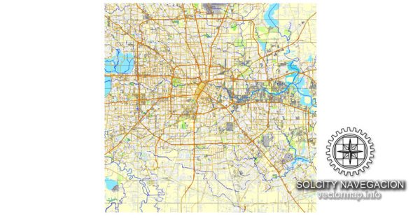
Houston, Texas, is home to several beautiful nature parks that offer a diverse range of outdoor experiences. Here are some of the notable nature parks in the Houston area:
- Buffalo Bayou Park: Located in the heart of Houston, Buffalo Bayou Park is an urban oasis that stretches along the Buffalo Bayou waterway. This park features scenic walking and biking trails, a skate park, a dog park, and beautiful views of the skyline. You can also rent kayaks or stand-up paddleboards to explore the bayou.
- Hermann Park: This centrally located park is home to the McGovern Centennial Gardens, a beautiful reflection pool, pedal boats, and the Houston Zoo. It’s a great place for picnics, leisurely walks, and family outings.
- Armand Bayou Nature Center: Located in the southeastern suburbs of Houston, this nature center offers wetlands, forests, and bayou habitats. Visitors can enjoy guided nature tours, bird watching, and wildlife viewing. It’s a peaceful escape from the city.
- Sam Houston National Forest: Just north of Houston, this national forest covers a large area of piney woods and offers camping, hiking, and fishing opportunities. The Lone Star Hiking Trail, a 128-mile-long trail, winds through the forest, making it a popular spot for backpackers and nature enthusiasts.
- Brazos Bend State Park: Located southwest of Houston, this state park is known for its abundant wildlife, especially alligators. Visitors can explore the park’s extensive trail system, go fishing, and enjoy stargazing at the George Observatory.
- Galveston Island State Park: A short drive from Houston, Galveston Island State Park is located on the Gulf of Mexico and features beachfront areas, hiking trails, and salt marshes. It’s a great spot for birdwatching, beachcombing, and water-based activities.
- Bay Area Park: Situated in the Clear Lake area, this park offers access to Armand Bayou, making it a popular spot for kayaking and canoeing. The park also has playgrounds, picnic areas, and walking trails.
- Mercer Arboretum and Botanic Gardens: Located in Spring, just north of Houston, this botanical garden is a haven for plant lovers. It features a vast collection of plants, including native Texas species, as well as walking trails and serene settings for relaxation.
These nature parks in and around Houston provide opportunities for outdoor recreation, wildlife observation, and a chance to escape the hustle and bustle of the city, making them great destinations for both residents and visitors alike.


 Author: Kirill Shrayber, Ph.D. FRGS