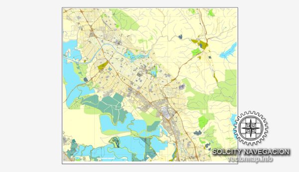
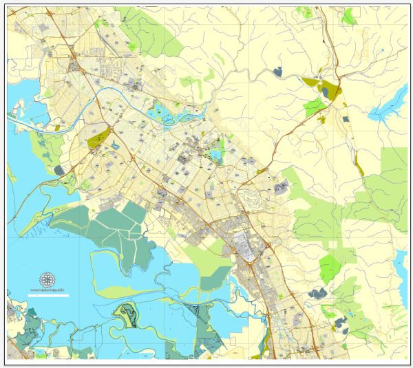
Fremont, California, offers several nature parks and outdoor recreational areas for residents and visitors to enjoy. Here are descriptions of some of the notable nature parks in and around Fremont:
- Coyote Hills Regional Park: Located on the shores of San Francisco Bay, Coyote Hills Regional Park is a popular destination for nature enthusiasts. It features a network of hiking and biking trails that wind through marshes, grasslands, and tidal flats. The park also has a visitor center with exhibits about the area’s natural and cultural history.
- Mission Peak Regional Preserve: Mission Peak is one of the most iconic landmarks in Fremont. The park offers a challenging hike to the summit, where hikers are rewarded with breathtaking panoramic views of the Bay Area. Wildflowers bloom in the spring, and the area is known for its diverse wildlife.
- Lake Elizabeth/Central Park: While not a traditional nature park, Central Park in Fremont offers a beautiful 83-acre man-made lake known as Lake Elizabeth. It’s surrounded by walking and jogging paths, picnic areas, and plenty of green spaces. The park is an excellent place for a leisurely stroll or a family picnic.
- Sunol Regional Wilderness: Located just a short drive from Fremont, Sunol Regional Wilderness is a picturesque area with rugged landscapes and a network of trails. Hiking, camping, bird watching, and horseback riding are popular activities in this park. It also hosts the Sunol Visitor Center, which provides information about the park’s natural and cultural history.
- Alameda Creek Trail: This multi-use trail follows the Alameda Creek and offers scenic views of the water, wildflowers, and local wildlife. It’s a great place for walking, jogging, biking, or simply enjoying the outdoors. The trail stretches for miles and provides a serene escape within the city.
- Niles Canyon Stroll and Roll Trail: This paved trail follows the historic Niles Canyon Railway, which winds through a scenic canyon. It’s a popular route for both walkers and cyclists, offering beautiful views of the surrounding hills and Alameda Creek.
- Vargas Plateau Regional Park: Located in the hills of Fremont, Vargas Plateau Regional Park is a relatively new addition to the East Bay Regional Park District. It offers a range of hiking and biking trails with scenic vistas of the Bay Area, including the San Francisco Bay and the South Bay. The park is known for its rolling grasslands and oak woodlands.
These parks and outdoor areas provide a variety of recreational opportunities for nature lovers, hikers, bird watchers, and those looking for a peaceful escape from the urban environment in Fremont, California. Whether you’re interested in hiking, picnicking, or simply enjoying the natural beauty of the region, there’s something for everyone to explore and appreciate in these green spaces.


 Author: Kirill Shrayber, Ph.D. FRGS