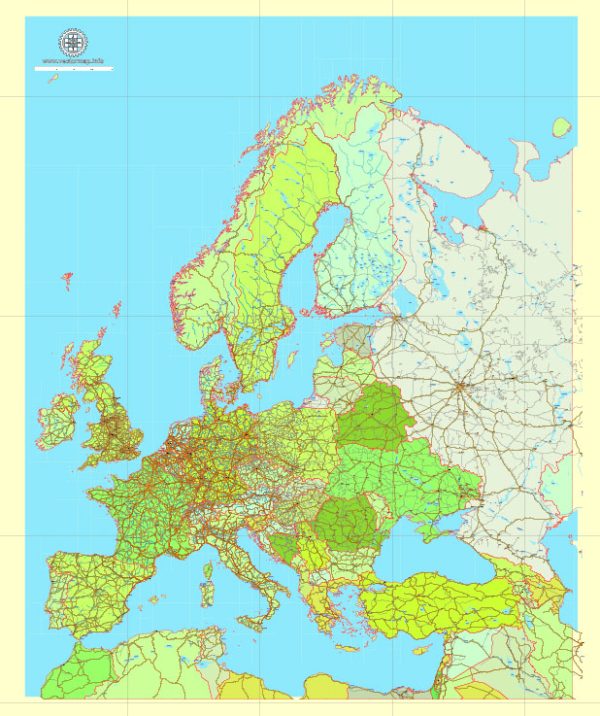
The history of cartography in Europe is a rich and complex one that spans centuries, from the earliest known maps created by ancient civilizations to the highly sophisticated and accurate maps produced in the modern era. Here is an overview of the key developments and periods in the history of cartography in Europe:
- Ancient and Medieval Cartography (Before 15th Century):
- Ancient Greece and Rome: The Greeks and Romans made significant contributions to early cartography. Ptolemy’s “Geographia,” written in the 2nd century AD, was a milestone, as it provided a framework for representing the Earth’s surface on a map using latitude and longitude.
- Medieval Manuscript Maps: During the Middle Ages, maps were often found in religious manuscripts. They were primarily symbolic and lacked precision. Mappa mundi, or medieval world maps, depicted a combination of geographic and mythological information.
- The Age of Exploration (15th to 17th Century):
- Age of Discovery: The European Age of Exploration led to the exploration and mapping of new lands. Christopher Columbus, Vasco da Gama, and Ferdinand Magellan are among the explorers whose voyages expanded the known world.
- Portolan Charts: Navigational maps known as portolan charts were developed, which were highly accurate for their time and crucial for maritime navigation.
- Mercator Projection: In the 16th century, Gerardus Mercator introduced his famous map projection, which preserved rhumb lines (lines of constant compass bearing) and greatly aided navigation.
- Scientific Revolution and Enlightenment (17th to 18th Century):
- Scientific Advancements: With the rise of the scientific method and the Enlightenment, cartography became more precise and scientific. Surveying and astronomical observations improved map accuracy.
- Cassini’s Mapping of France: The Cassini family in France conducted a comprehensive survey and mapping of the country, producing the first topographic map of an entire nation.
- 19th Century and the Rise of National Surveys:
- Ordnance Survey (UK): The Ordnance Survey in the United Kingdom, established in the late 18th century, is an early example of a national mapping agency. It produced highly detailed topographic maps.
- National Surveys in Europe: Other European nations also established national mapping agencies to create detailed and standardized maps, such as the Institut Géographique National in France.
- 20th Century and Modern Cartography:
- Advancements in Technology: The 20th century saw significant advancements in cartography with the introduction of aerial photography, remote sensing, and GIS (Geographic Information Systems). These technologies revolutionized mapmaking and data analysis.
- Standardization: International bodies like the International Map of the World (IMW) and the United Nations helped standardize map projections and symbols for global consistency.
- Digital Mapping: The digital age brought about the development of digital mapping and the widespread use of Geographic Information Systems (GIS) for creating, analyzing, and disseminating maps.
- Modern European Cartography:
- Today, European countries continue to produce highly accurate and detailed maps. The European Union also supports cartographic initiatives and collaborates on projects like the European Spatial Data Infrastructure (ESDI).
European cartography has evolved significantly over the centuries, reflecting not only technological advancements but also the changing needs of society, from navigation and exploration to modern urban planning and environmental management. The maps of Europe’s past tell the story of its history, culture, and scientific progress.


 Author: Kirill Shrayber, Ph.D. FRGS