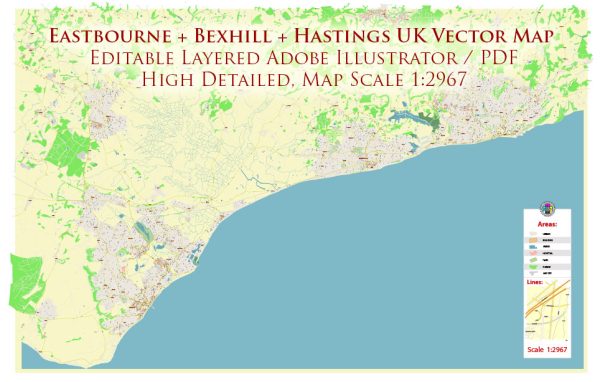
Eastbourne, Bexhill, and Hastings are towns located on the southern coast of the United Kingdom, and the surrounding region offers a variety of natural parks and outdoor spaces for residents and visitors to enjoy. Here is a brief description of some of the nature parks and green spaces in these areas:
- Eastbourne:
- Seven Sisters Country Park: This beautiful nature park is located just west of Eastbourne and is known for its iconic chalk cliffs, the Seven Sisters. It offers stunning coastal views and a network of walking trails along the cliffs and down to the beaches below.
- Beachy Head: Beachy Head is a prominent chalk headland near Eastbourne. It’s a popular spot for hiking and birdwatching, with panoramic views of the English Channel.
- Sovereign Harbour: This area features a man-made harbor with a picturesque waterfront, offering opportunities for leisurely walks and enjoying the scenic marina.
- Bexhill:
- Egerton Park: Egerton Park is a charming urban park in Bexhill that features lush green lawns, a lake with ducks and swans, and colorful flowerbeds. It’s a great place for picnics and leisurely strolls.
- Bexhill Promenade: Bexhill’s seafront promenade offers a pleasant place for walks and cycling along the coastline. It’s a great spot to enjoy sea views and fresh sea air.
- Hastings:
- Hastings Country Park: This expansive park covers a large area of the town and its surrounding cliffs. It includes the East Hill and West Hill, offering hiking trails, woodlands, and access to the historic Hastings Castle. The park provides breathtaking views of the town and the English Channel.
- Alexandra Park: This Victorian-era park in Hastings is a picturesque green space with well-maintained gardens, a boating lake, and a café. It’s a peaceful place for a leisurely walk or a family picnic.
All three towns have a mix of natural and urban green spaces that cater to a variety of outdoor activities, making them great destinations for those who appreciate nature and the outdoors. Whether you’re interested in coastal views, serene parks, or hiking opportunities, the Eastbourne, Bexhill, and Hastings areas have something to offer nature enthusiasts and those seeking relaxation in a natural setting.


 Author: Kirill Shrayber, Ph.D. FRGS