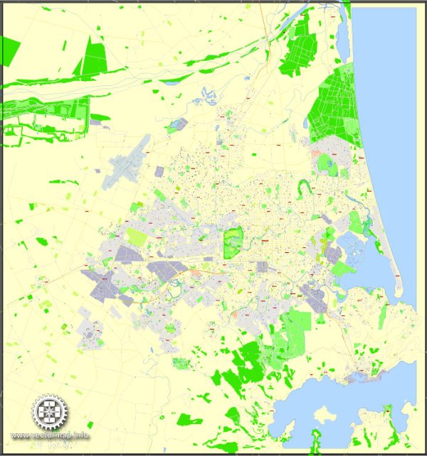
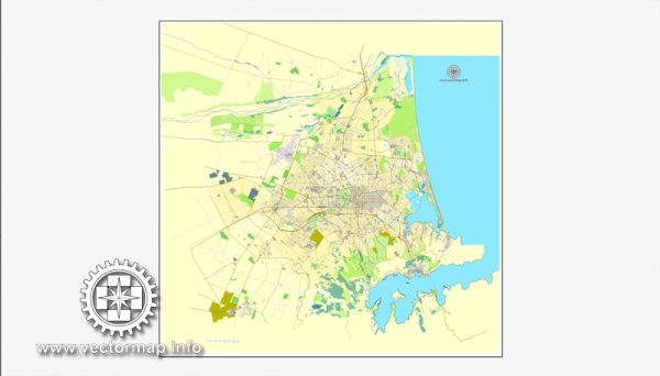
Christchurch, New Zealand, is a city known for its abundant natural beauty and numerous parks and green spaces. Here are some of the nature parks and reserves you can explore in and around Christchurch:
- Christchurch Botanic Gardens: Located in the heart of the city, the Christchurch Botanic Gardens are a beautiful and tranquil oasis. You can stroll through a wide variety of themed gardens, including the Rose Garden, Rock Garden, and the native New Zealand plant section. The Avon River flows through the gardens, offering opportunities for punting and boating.
- Hagley Park: Adjacent to the Botanic Gardens, Hagley Park is one of the largest urban parks in the city. It features vast open spaces, walking and jogging tracks, and recreational facilities. The park is perfect for picnics, sports activities, or simply enjoying the outdoors.
- Port Hills: While not a park in the traditional sense, the Port Hills offer some of the most spectacular natural views in the Christchurch area. You can hike or drive to the summit and enjoy panoramic views of the city, Lyttelton Harbour, and the Southern Alps.
- Banks Peninsula: Located just a short drive from Christchurch, Banks Peninsula is a volcanic promontory offering a wealth of outdoor experiences. You can explore the charming French-influenced town of Akaroa, go hiking in the hills, or enjoy various water activities, including harbor cruises and dolphin-watching tours.
- Riccarton Bush: This reserve is a remnant of native forest in the midst of the city. It’s a tranquil place for a peaceful walk and a glimpse into what the area might have looked like before European settlement.
- Orton Bradley Park: Located on the Banks Peninsula, this park features a mix of natural forest, gardens, and walking tracks. It’s an excellent place for bird-watching, picnicking, and exploration.
- Arthur’s Pass National Park: A bit farther afield but well worth the journey, Arthur’s Pass National Park is a haven for hikers and nature lovers. It’s known for its stunning alpine landscapes, rugged terrain, and opportunities for tramping (hiking) and wildlife spotting.
- Willowbank Wildlife Reserve: While primarily a wildlife reserve, Willowbank offers visitors a chance to see and learn about native New Zealand species, including the kiwi bird, tuatara, and more.
Christchurch is a city that prides itself on its green spaces, making it an ideal destination for nature enthusiasts. Whether you’re interested in leisurely walks, picnics, or more active outdoor pursuits, you’ll find plenty of natural beauty to explore in and around the city.


 Author: Kirill Shrayber, Ph.D. FRGS