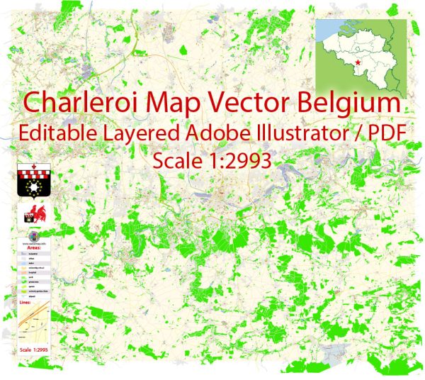
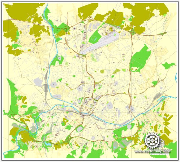
Charleroi, located in the Wallonia region of Belgium, is not typically known for its nature parks, as it is an industrial and urban area. However, there are some natural areas and parks in and around Charleroi that offer a respite from the city and a chance to enjoy nature. Here are a few of them:
- Bois du Cazier: This site, while primarily known for its historical significance as a coal mining site, also offers some green spaces and walking paths. It’s a blend of history and nature, with well-maintained gardens and open areas.
- Parc de Monceau-sur-Sambre: Located in the northern part of Charleroi, this park offers a peaceful environment with a lake and walking paths. It’s a great place for a leisurely stroll and a picnic.
- Parc Reine Astrid: Also known as Parc des Bastions, this park is situated near the city center. It features beautiful green lawns, walking paths, and sculptures. It’s a popular spot for locals to relax and unwind.
- Lakes of Eau d’Heure: While not directly in Charleroi, the Lakes of Eau d’Heure are a bit of a drive away but worth a visit. This artificial lake complex offers various water sports, including sailing, swimming, and fishing, as well as opportunities for hiking and picnicking in the surrounding woods.
- Aulne Abbey: Aulne Abbey, or Abbaye d’Aulne, is an ancient Cistercian abbey located in the nearby town of Thuin. It’s surrounded by a beautiful forested area, making it a peaceful and scenic place for a nature walk.
While Charleroi itself may not have vast nature reserves, the surrounding region has pockets of green spaces and parks that provide opportunities to enjoy nature and outdoor activities. Additionally, Belgium’s well-developed public transportation system makes it relatively easy to explore the wider natural beauty of the Wallonia region.


 Author: Kirill Shrayber, Ph.D. FRGS