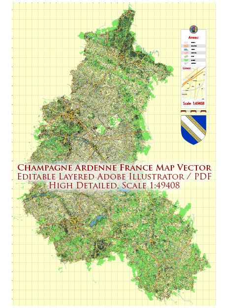
Champagne-Ardenne is a region located in northeastern France, known for its beautiful landscapes, including forests, rivers, and rolling hills. While the region does not have a designated national park, it does offer several areas of natural beauty and conservation that can be enjoyed by outdoor enthusiasts and nature lovers. Here are some notable natural areas in Champagne-Ardenne:
- Regional Natural Parks: Champagne-Ardenne is home to several Regional Natural Parks, which are protected areas designed to conserve and showcase the region’s natural and cultural heritage. Notable parks in the region include the Regional Natural Park of the Ardennes (Parc naturel régional des Ardennes) and the Regional Natural Park of the Orient Forest (Parc naturel régional de la Forêt d’Orient). These parks offer a variety of outdoor activities, such as hiking, bird watching, and water sports, and they are home to diverse wildlife and plant species.
- Forests: Champagne-Ardenne boasts extensive forests, including the Ardennes Forest, which covers a significant portion of the region. These forests provide excellent opportunities for hiking, cycling, and wildlife observation. The Ardennes Forest is especially known for its rugged terrain and is rich in biodiversity.
- Lakes and Reservoirs: The three large artificial lakes of the Orient Forest (Lac d’Orient, Lac du Temple, and Lac Amance) are important recreational areas. They offer water-based activities such as boating, fishing, and swimming, as well as opportunities for picnicking and hiking along the shoreline.
- Rivers: The region is crisscrossed by several rivers, including the Marne and Meuse. These rivers provide scenic beauty and opportunities for kayaking, canoeing, and fishing.
- Vineyards: While not a natural park in the traditional sense, Champagne-Ardenne is famous for its vineyards, where the world-renowned Champagne wine is produced. The vineyards and the Champagne cellars in towns like Reims and Epernay offer an opportunity to explore the cultural and agricultural aspects of the region.
Although Champagne-Ardenne may not have a designated national park, its natural areas and parks offer plenty of opportunities for outdoor activities and the enjoyment of the region’s natural beauty. The landscape is diverse, ranging from dense forests to tranquil lakes, and it provides a peaceful retreat for those seeking to connect with nature in northeastern France.


 Author: Kirill Shrayber, Ph.D. FRGS