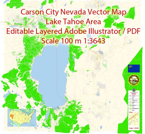
Carson City, the capital of Nevada, is surrounded by natural beauty and offers several nature parks and outdoor recreational opportunities. Here are some of the nature parks and outdoor areas in and around Carson City, Nevada:
- Mills Park: Mills Park is a popular destination for outdoor activities in Carson City. It features a playground, a duck pond, picnic areas, and a beautiful tree-lined walking path. It’s an excellent spot for family outings and picnics.
- Silver Saddle Ranch: This park is located along the Carson River and offers scenic walking and hiking trails. It’s a great place for birdwatching and wildlife observation. The park also hosts various events and educational programs.
- Clear Creek Trail: This is a 9-mile trail system that winds through the Carson Range, providing excellent opportunities for hiking, biking, and horseback riding. The trail is known for its diverse flora and fauna, making it a great spot for nature enthusiasts.
- Ash to Kings Canyon Trail: This trail is located within the Ash Canyon and Kings Canyon areas and is known for its lush vegetation and stunning views of Carson City. The trail offers opportunities for hiking and wildlife viewing.
- Lake Tahoe: While not in Carson City itself, Lake Tahoe is just a short drive away. This iconic alpine lake offers a plethora of outdoor activities, including boating, fishing, hiking, and skiing in the winter. The surrounding forests and mountains provide ample opportunities for nature exploration.
- Spooner Lake: Located in Lake Tahoe Nevada State Park, Spooner Lake is a serene mountain lake surrounded by hiking and mountain biking trails. It’s a great place to escape into the wilderness and enjoy the peaceful atmosphere.
- Washoe Lake State Park: Just a short drive south of Carson City, this state park offers a variety of outdoor activities, including hiking, birdwatching, picnicking, and water sports. The park is situated around the picturesque Washoe Lake, and it’s a favorite spot for birdwatchers due to its diverse avian population.
- Carson River Park: This park is located near the Carson River and offers picnic areas, walking trails, and access to the river for fishing and kayaking. It’s a pleasant place for a riverside stroll or a quiet afternoon by the water.
These nature parks and outdoor areas around Carson City provide a diverse range of opportunities to enjoy the natural beauty of the region, whether you’re interested in hiking, birdwatching, picnicking, or simply taking in the scenic views. Please check the most up-to-date information and regulations for each park before planning your visit.


 Author: Kirill Shrayber, Ph.D. FRGS