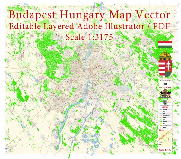
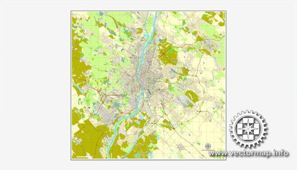
Budapest, Hungary, may be best known for its stunning architecture, thermal baths, and vibrant city life, but it also offers several beautiful natural parks and green spaces where you can escape the hustle and bustle of the city. Here are some of the most notable nature parks and descriptions in Budapest:
- Margaret Island (Margitsziget):
- Location: In the middle of the Danube River.
- Description: Margaret Island is a peaceful oasis in the heart of Budapest. It is a favorite spot for both locals and tourists to relax and enjoy nature. You can take a leisurely walk or rent a bike to explore the lush gardens, fountains, and historical ruins. The island also features a small zoo, a musical fountain, and numerous recreational facilities.
- City Park (Városliget):
- Location: Near Heroes’ Square in Pest.
- Description: City Park is one of the largest green areas in Budapest and offers a diverse range of attractions. You’ll find Vajdahunyad Castle, the Széchenyi Thermal Bath, a boating lake, a skating rink (in winter), and the Budapest Zoo. It’s a fantastic place for a leisurely stroll or a picnic.
- Normafa:
- Location: In the Buda Hills.
- Description: Normafa is a popular spot for hiking and enjoying panoramic views of Budapest. It’s especially beautiful in the fall when the leaves change colors. There are various trails to explore, a lookout tower, and a playground for children. It’s a great place to escape the city and enjoy the natural beauty of the Buda Hills.
- Buda Hills (Budai-hegység):
- Location: Surrounding the Buda side of the city.
- Description: The Buda Hills offer extensive hiking opportunities with well-marked trails. This is an excellent place for nature lovers and hikers. You can explore dense forests, rocky formations, and caves. Elizabeth Lookout, János Hill (with the Erzsébet Kilátó), and Hármashatár Hill are popular spots in this area.
- Feneketlen Lake (Feneketlen-tó):
- Location: In the 11th district of Budapest.
- Description: Feneketlen Lake is a small but charming park surrounding a picturesque pond. It’s a great place for a leisurely walk, picnics, and bird watching. The lake often freezes in winter, making it a popular spot for ice skating.
- Római Part (Roman Beach):
- Location: Along the banks of the Danube River.
- Description: Római Part is a riverside area with a beach-like atmosphere. It’s a popular destination in the summer, with a variety of bars, restaurants, and recreational activities. You can enjoy a leisurely walk along the river and soak up the sun.
- Kopaszi Dam (Kopaszi-gát):
- Location: On the Buda side, near the Petőfi Bridge.
- Description: Kopaszi Dam is a modern recreational area with a lake, walking paths, playgrounds, and various dining options. It’s a great place to relax and enjoy a meal while taking in views of the river.
These nature parks and green spaces provide a refreshing contrast to the urban attractions in Budapest and are perfect for anyone looking to connect with nature while visiting the city.


 Author: Kirill Shrayber, Ph.D. FRGS