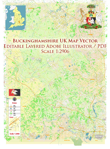
Buckinghamshire, located in the South East of England, is known for its beautiful natural landscapes and countryside. The county is home to several nature parks and reserves, each offering a unique experience for outdoor enthusiasts and wildlife lovers. Here are some descriptions of nature parks in Buckinghamshire:
- Chiltern Hills: The Chiltern Hills Area of Outstanding Natural Beauty (AONB) covers a substantial portion of Buckinghamshire. This hilly region is characterized by its stunning beech woodlands, chalk streams, and picturesque villages. The Chilterns offer numerous walking and cycling routes, providing an opportunity to explore the diverse flora and fauna that inhabit this area.
- Buckinghamshire Railway Centre: Located in Quainton, this center is a bit different from the typical nature reserve. It’s a museum dedicated to the history of the railways, housing a collection of historic locomotives and carriages. Visitors can take train rides and explore the surrounding countryside.
- Langley Park: Langley Park is a historic landscape with beautiful gardens and woodlands. The park surrounds Langley Park House, an 18th-century mansion. You can take leisurely walks through the gardens, enjoy the serenity of the lakes, and explore the woodlands.
- Black Park Country Park: Situated near Wexham, Black Park is a popular destination for families. It boasts a large lake, woodlands, and meadows. You can go for a peaceful walk, enjoy a picnic, or take part in various outdoor activities like boating, cycling, and even Go Ape, which is an aerial adventure course.
- Colne Valley Regional Park: Though it extends beyond Buckinghamshire, this regional park covers a significant portion of the county. The park comprises waterways, meadows, and wetlands, making it an excellent spot for birdwatching and enjoying the tranquility of the countryside. You can also take boat trips along the Grand Union Canal.
- Buckinghamshire Garden Trust Gardens: While not a single park, Buckinghamshire is home to a number of stunning gardens. These include Stowe House and Gardens, Waddesdon Manor, and Chenies Manor House, each offering a unique horticultural experience.
- Buckinghamshire’s Nature Reserves: Buckinghamshire has several nature reserves, including Dancersend, College Lake, and Calvert Jubilee. These reserves provide important habitats for various wildlife species and are perfect for birdwatching and enjoying the natural surroundings.
- Buckinghamshire’s Canals: The Grand Union Canal and the Aylesbury Arm provide picturesque waterways for leisurely walks and boat trips. The canals are often surrounded by greenery and offer opportunities to spot wildlife and enjoy a peaceful day by the water.
These are just a few of the nature parks and outdoor destinations in Buckinghamshire, each offering a unique experience for visitors who want to connect with nature and explore the county’s beautiful countryside. Whether you’re interested in hiking, wildlife, history, or simply enjoying the outdoors, Buckinghamshire has something to offer.


 Author: Kirill Shrayber, Ph.D. FRGS