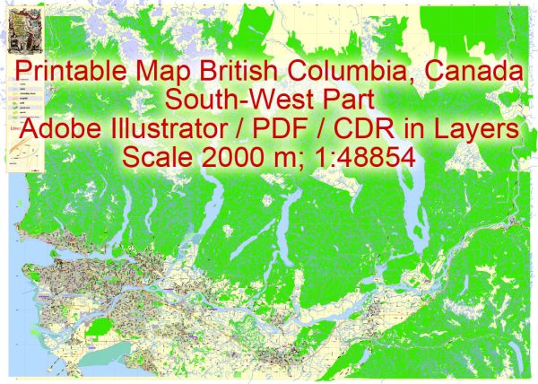
British Columbia, Canada, is home to several stunning national parks, each with its own unique natural beauty and recreational opportunities. Here’s a brief description of some of the prominent national parks in British Columbia:
- Yoho National Park: Located in the Canadian Rockies, Yoho National Park is known for its spectacular mountain scenery, including towering waterfalls, serene lakes, and rugged hiking trails. Notable attractions include Takakkaw Falls, Emerald Lake, and the Burgess Shale fossil beds.
- Kootenay National Park: Situated adjacent to Yoho National Park, Kootenay National Park offers visitors opportunities for hiking, camping, and wildlife viewing. The park features the iconic Radium Hot Springs, where you can soak in natural mineral springs.
- Glacier National Park: This park is renowned for its towering peaks, pristine glaciers, and challenging backcountry trails. The Rogers Pass area is a hub for outdoor enthusiasts, with excellent opportunities for hiking, skiing, and snowshoeing.
- Mount Revelstoke National Park: Home to the world-famous Meadows in the Sky Parkway, this park offers stunning alpine meadows and hiking trails. In the summer, the wildflower display is breathtaking, and in the winter, it’s a popular destination for snowshoeing and cross-country skiing.
- Pacific Rim National Park Reserve: Located on the west coast of Vancouver Island, this park combines a unique blend of coastal rainforests, rugged shorelines, and sandy beaches. It’s a great place for hiking, surfing, wildlife watching, and storm watching during the winter months.
- Gulf Islands National Park Reserve: This park reserve consists of several islands scattered along the coast of British Columbia. It’s a haven for kayaking, boating, and camping, with diverse marine life and beautiful landscapes to explore.
- Gwaii Haanas National Park Reserve, National Marine Conservation Area Reserve, and Haida Heritage Site: Located in Haida Gwaii (formerly the Queen Charlotte Islands), this park reserve is a UNESCO World Heritage Site and offers a unique blend of cultural and natural experiences. Visitors can explore ancient Haida village sites, lush rainforests, and pristine marine environments.
- Mount Robson Provincial Park: While not a national park, Mount Robson Provincial Park is home to the highest peak in the Canadian Rockies, Mount Robson. The park features excellent hiking and camping opportunities and provides stunning views of the mountain.
These national parks showcase the incredible diversity of British Columbia’s landscapes, from coastal rainforests to rugged mountains, making it a paradise for outdoor enthusiasts, nature lovers, and adventure seekers. Be sure to check the specific park’s website or visitor centers for up-to-date information on activities, facilities, and park regulations before planning your visit.


 Author: Kirill Shrayber, Ph.D. FRGS