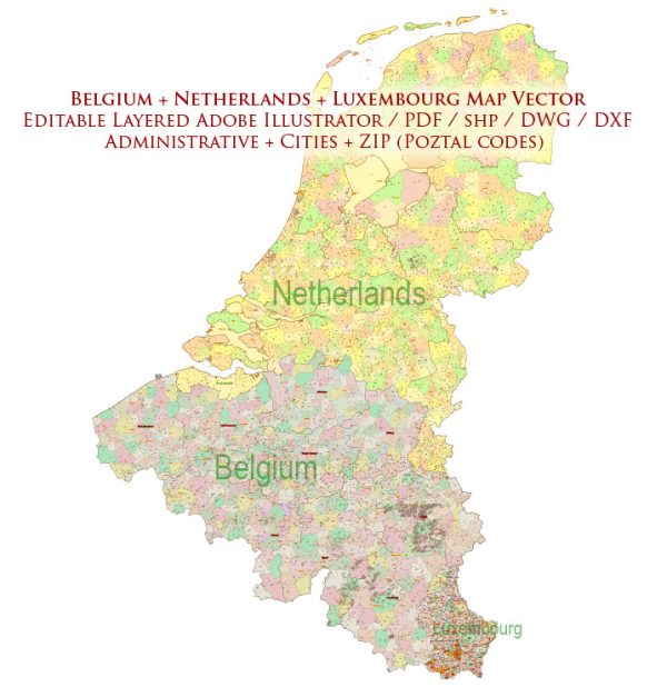
The road systems in Belgium, the Netherlands, and Luxembourg are well-developed and efficient, making it relatively easy to travel between and within these countries. Here’s an overview of the road systems in each of these countries:
Belgium:
- Belgium has an extensive road network, and the road infrastructure is generally well-maintained.
- The country is known for its dense network of highways and expressways (autoroutes/autostrades), which connect major cities and regions. The road signs are in both Dutch and French.
- The road quality is generally good, and there are well-maintained rest areas along major highways.
- In larger cities like Brussels, Antwerp, and Ghent, you’ll encounter a network of urban roads and ring roads that can be quite congested during peak hours.
- There are several tunnels and bridges that connect different parts of the country, including the famous Antwerp Ring Road and the Kennedy Tunnel.
- Tolls are levied on some major highways, particularly around Brussels.
Netherlands:
- The Netherlands also boasts an extensive and well-maintained road network.
- The road signs are predominantly in Dutch, but many also include English or German translations, making it accessible to international travelers.
- The Dutch highway system (autosnelwegen) is known for its efficiency and is particularly famous for its network of interchanges and advanced traffic management systems.
- The road quality is excellent, and you’ll find well-marked lanes, clear road signs, and regular rest areas.
- In major cities like Amsterdam, Rotterdam, and Utrecht, there are extensive road networks and ring roads. Amsterdam, for example, has its famous A10 Ring Road.
- Some tunnels and bridges play a crucial role in connecting different parts of the country, such as the Zeeland Bridge and the Westerschelde Tunnel.
Luxembourg:
- Luxembourg is a smaller country, but its road system is efficient and connects to neighboring countries.
- Road signs are in Luxembourgish, French, and German, but most people involved in the road sector speak English.
- The country’s road network includes highways, national roads, and local roads. Highways are well-maintained and efficient.
- While the country is known for its hilly terrain, the roads are generally well-designed to navigate the landscape.
- Luxembourg City, the capital, has a network of urban roads and a beltway (the Luxembourg City Ring) that helps manage traffic in the city.
All three of these countries have excellent road safety records and are known for their strong enforcement of traffic rules. Travelers should also be aware of speed limits, as they vary depending on the type of road and location. Additionally, it’s advisable to have the necessary vignettes (toll stickers) or payment methods for tolls when driving on specific highways in these countries.


 Author: Kirill Shrayber, Ph.D. FRGS