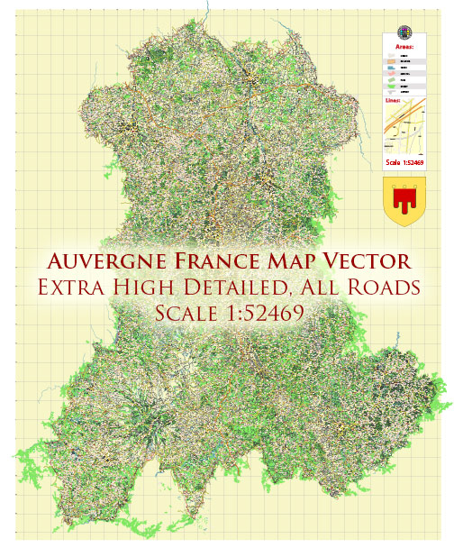
The Auvergne region in France is known for its stunning natural beauty and is home to several national parks and protected areas. These national parks are known for their diverse landscapes, rich biodiversity, and opportunities for outdoor recreation. Here are descriptions of some of the notable national parks in the Auvergne region:
- Parc Naturel Régional des Volcans d’Auvergne (Regional Natural Park of the Auvergne Volcanoes):
- Location: Central Massif region of Auvergne.
- Description: This is one of the most famous national parks in Auvergne, and it is part of the larger Massif Central volcanic region. The park is characterized by its unique volcanic landscapes, including extinct volcanoes, crater lakes, and basalt plateaus. It is an excellent destination for hiking, birdwatching, and outdoor activities. Puy de Dôme is a prominent volcano and a popular spot for tourists to visit within the park.
- Parc Naturel Régional Livradois-Forez (Livradois-Forez Regional Natural Park):
- Location: Eastern Auvergne.
- Description: This park is known for its rolling hills, forests, and pastoral landscapes. It is a haven for nature lovers and outdoor enthusiasts, offering opportunities for hiking, cycling, and horseback riding. The Livradois-Forez Regional Park also promotes sustainable agriculture and traditional farming practices.
- Parc Naturel Régional des Volcans d’Auvergne (Vosges du Nord Regional Natural Park):
- Location: Northern Auvergne.
- Description: Located in the northern part of the Auvergne region, the Vosges du Nord Regional Natural Park extends into the Alsace region as well. This park is characterized by its dense forests, rocky formations, and picturesque valleys. It is an excellent place for hiking and exploring the natural beauty of the region.
- Parc Naturel Régional du Pilat (Pilat Regional Natural Park):
- Location: Western Auvergne.
- Description: Pilat Regional Natural Park is situated to the west of the Auvergne region and covers parts of the Rhône and Loire departments. The park features a range of landscapes, including forests, plateaus, and deep gorges. It’s a popular destination for hiking, cycling, and enjoying the great outdoors.
These national parks in Auvergne offer a diverse range of landscapes and activities for nature enthusiasts and outdoor adventurers. Visitors can explore the unique geological formations, lush forests, and charming villages, making Auvergne a fantastic destination for nature lovers.


 Author: Kirill Shrayber, Ph.D. FRGS