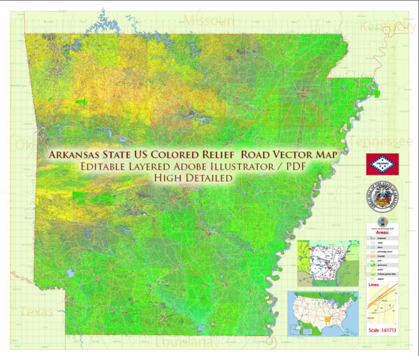
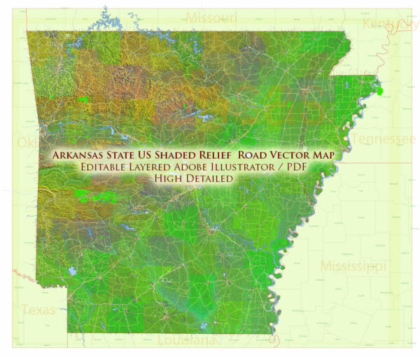
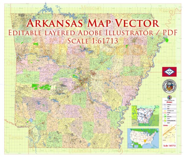
Arkansas is home to a diverse array of natural beauty and outdoor recreational opportunities, but it doesn’t have any national parks of its own. However, there are several national parks in neighboring states that are easily accessible from Arkansas. Here are a few national parks near Arkansas:
- Hot Springs National Park (Arkansas): While not a traditional national park, Hot Springs National Park is located in the city of Hot Springs, Arkansas. This park is known for its naturally occurring hot springs, historic bathhouses, and beautiful landscapes. Visitors can take a bath in the thermal waters, explore hiking trails, and learn about the area’s history.
- Ozark National Scenic Riverways (Missouri): Just to the north of Arkansas in Missouri, you can find the Ozark National Scenic Riverways. This park protects the Current and Jacks Fork Rivers, offering opportunities for canoeing, kayaking, hiking, and camping in a stunning riverine landscape.
- Buffalo National River (Arkansas): Although not a national park, the Buffalo National River is a beautiful and unique area located entirely within the state of Arkansas. It was the first national river designated in the United States and offers visitors opportunities for canoeing, kayaking, hiking, and camping along the picturesque Buffalo River.
- Great Smoky Mountains National Park (Tennessee/North Carolina): To the east of Arkansas, the Great Smoky Mountains National Park straddles the border between Tennessee and North Carolina. It is renowned for its stunning mountain scenery, diverse wildlife, and extensive hiking trails.
- Chickasaw National Recreation Area (Oklahoma): Located just west of Arkansas in Oklahoma, Chickasaw National Recreation Area is known for its mineral-rich springs and beautiful lakes. Visitors can swim, boat, hike, and enjoy picnicking in a serene natural setting.
While Arkansas itself may not have a national park, it is surrounded by states with exceptional natural and cultural treasures. These nearby national parks offer a wide range of outdoor experiences, from hiking and camping to wildlife viewing and historical exploration.


 Author: Kirill Shrayber, Ph.D. FRGS