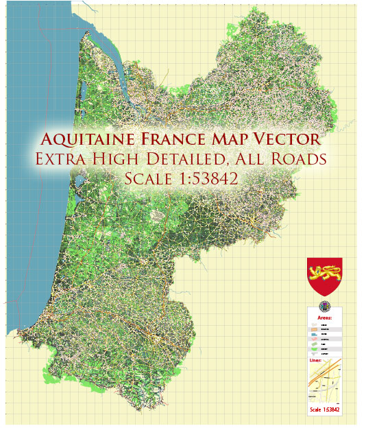
Aquitaine is a historic region in southwestern France known for its diverse landscapes, which include everything from sandy beaches along the Atlantic Coast to lush forests and the picturesque Pyrenees Mountains in the south. While Aquitaine is not typically associated with national parks in the same way as some other regions of France, it is home to several natural and protected areas that offer stunning landscapes and opportunities for outdoor activities. Here are a few notable ones:
- Pyrenees National Park (Parc National des Pyrénées): While the majority of Pyrenees National Park is located in the Midi-Pyrénées region, a portion extends into Aquitaine. This park is known for its rugged beauty, high mountain peaks, and rich biodiversity. It’s a fantastic destination for hikers, nature lovers, and wildlife enthusiasts. You can find a variety of wildlife species, including chamois, marmots, and the rare Pyrenean desman.
- Landes de Gascogne Regional Natural Park (Parc Naturel Régional des Landes de Gascogne): This regional natural park covers a vast area in Aquitaine and is known for its pine forests, wetlands, and extensive network of lakes. The park is an excellent place for birdwatching, with various species of waterfowl and other birds. It’s also an important area for the production of pine resin and cork.
- Biscarrosse and Parentis Lakes: These coastal lakes, situated in the Landes department of Aquitaine, are not officially national parks but are stunning natural areas. The lakes are surrounded by pine forests and offer opportunities for water sports, including swimming, windsurfing, and boating.
- Marais d’Orx Nature Reserve: Located near the town of Orx in the Landes department, this nature reserve is known for its extensive wetlands and diverse birdlife. It’s an essential stopping point for migratory birds and is a great spot for birdwatching and nature photography.
- Basque Country: While not a national park, the Basque Country in Aquitaine is a region with stunning natural beauty. The rolling hills, green landscapes, and picturesque coastal areas make it a great place for outdoor activities, such as hiking and surfing.
These natural areas in Aquitaine may not be officially designated as national parks, but they offer incredible opportunities to explore the region’s diverse ecosystems, enjoy outdoor activities, and appreciate the beauty of southwestern France. The landscapes of Aquitaine are rich and varied, and these areas allow visitors to experience the region’s natural splendor.


 Author: Kirill Shrayber, Ph.D. FRGS