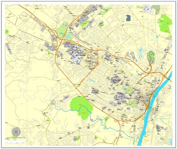
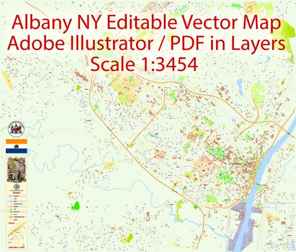
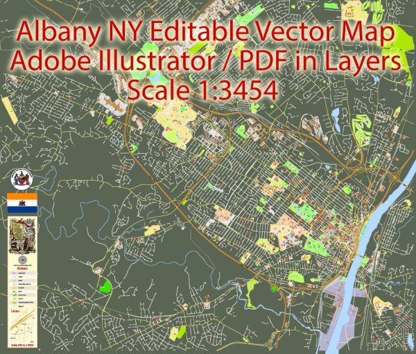
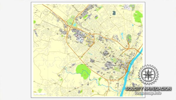
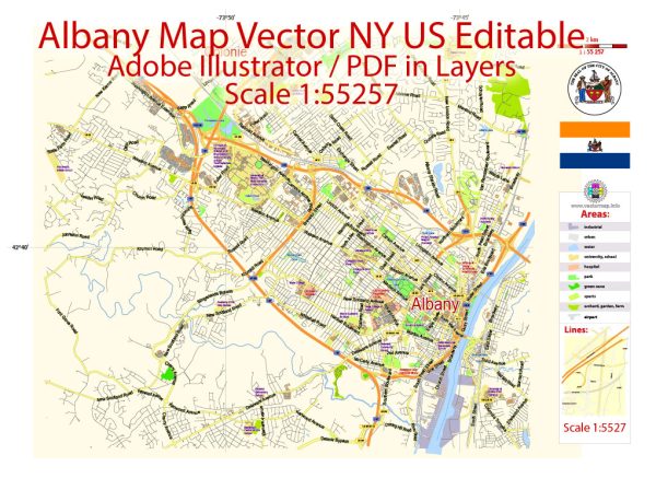
Albany, New York, has a relatively well-developed and diverse transportation system to serve both the city and the surrounding region. Here’s a description of the key components of the transportation system in Albany:
- Roads and Highways: Albany is well-connected by a network of highways. Interstate 87 (I-87) runs north-south through the city, connecting it to New York City to the south and Canada to the north. Interstate 90 (I-90) runs east-west, connecting Albany to Boston and Buffalo. These major highways are complemented by several state routes and local roads that facilitate travel within the city and the Capital District region.
- Public Transportation: The Capital District Transportation Authority (CDTA) operates the public transportation system in Albany and the surrounding area. This includes a network of buses that serve Albany and its suburbs. CDTA also operates the Bus Rapid Transit (BRT) service called BusPlus, which provides quicker and more reliable service on certain routes. Additionally, CDTA runs the Capital City Trolley, a free shuttle service in downtown Albany.
- Albany International Airport: Albany International Airport (ALB) is the major airport serving the region. It offers domestic and some international flights. The airport is located about 7 miles northwest of downtown Albany and provides convenient access to air travel.
- Rail Transportation: Albany-Rensselaer Train Station, located just across the Hudson River from downtown Albany, is a major Amtrak transportation hub. It offers connections to various cities along the Northeast Corridor, as well as destinations further west and north. Additionally, there are some local commuter rail services, such as the Empire Service and the Adirondack, that serve Albany.
- Cycling: Albany is working to improve its cycling infrastructure with dedicated bike lanes and bike-sharing programs. There are also numerous trails and paths for cyclists, such as the Mohawk-Hudson Bike-Hike Trail.
- Walking: Albany is a walkable city, especially in the downtown area. Many attractions, shops, and restaurants are within walking distance of each other, and there are pedestrian-friendly streets and sidewalks.
- Car Rentals: Car rental agencies are available at the airport and throughout the city, providing options for travelers who prefer to have their own vehicle.
- Ridesharing and Taxis: Ride-sharing services like Uber and Lyft operate in Albany, providing convenient transportation options. Traditional taxis are also available.
- Ferries: The Hudson River is a prominent feature of the Albany area, and several ferry services operate, offering transportation across the river for both passengers and vehicles.
Albany’s transportation system is relatively robust and well-connected, making it easy for residents and visitors to get around the city and access the broader Capital District region. The city is continually working to improve its transportation infrastructure to accommodate the needs of its growing population and to enhance mobility options for all.

 Author: Kirill Shrayber, Ph.D.