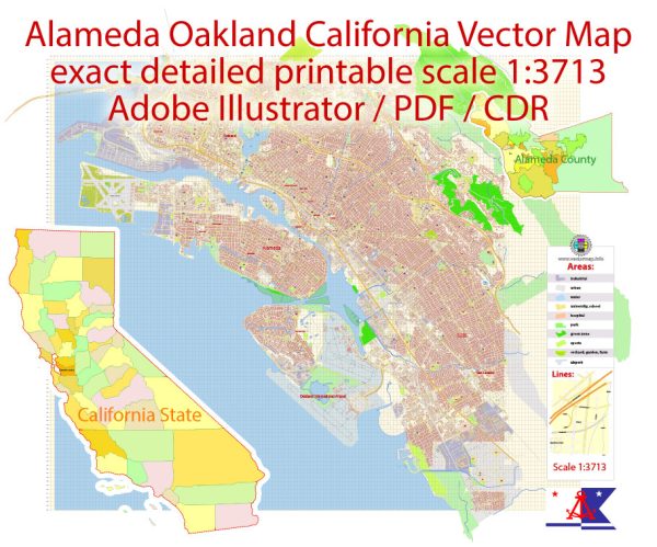
The City of Alameda is part of what became one of the most valuable land grants in California’s history.
In 1818, a 35 square mile area, then known as Rancho San Antonio, was transferred from the governor of
California to Luis Peralta. In 1842, Peralta divided the property between his four surviving sons.
Antonio Maria got all of Alameda and much of Oakland.
Nearly a decade later, W.W. Chipman and Gideon Aughinbaugh, considered the city’s founding
fathers, became the first American settlers to arrive in Alameda. Their pursuits led to the
establishment of a large peach orchard, signaling the beginning of the area’s development.
In 1853, the two men purchased the land that was to become the city, then a peninsula,
for the sum of $14,000. The town’s name was changed to Alameda, the Spanish word for a grove of poplar trees.
On December 27, 1884, the City of Alameda was formally organized. On January 18, 1885, the Official
Seal was approved and adopted. Its Latin inscription, Prosperitas terra mari que, freely translates
as “Prosperity from the land and sea.”
The Island of Alameda was created in 1902 when a tidal canal (the Estuary) was created joining
Oakland’s harbor with the San Leandro Bay. With this move, Alameda made its mark as an important shipping port.
Alameda is now one of 82 charter cities in California. But in 1917, along with six other California cities,
Alameda pioneered the Council-Manager form of government. The system proved so effective that virtually all
California cities have since adopted this form of government. The City’s present charter was adopted in 1937,
last revised and updated in 1998, and Alameda’s Civil Service System was created.
Today, Alameda’s elected officials, City staff, volunteer Boards and Commissions and special committees work
together to preserve and enhance the quality of life Alamedans have enjoyed for more than a century.
Resplendent Victorian homes grace shade tree-lined streets covering the island’s 12.4 square miles.
An invigorating climate, manicured parks, historical business districts and numerous recreational
opportunities offer Alameda’s 73,812 residents (according to the 2010 Census) special living environment.
Source: https://alamedacommunityfund.org/brief-history-of-alameda/


 Author: Kirill Shrayber, Ph.D.