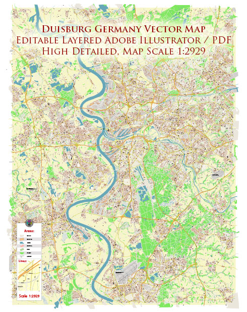
Duisburg is a city in western Germany, and it has several principal streets that are important for transportation and urban life. While I can provide descriptions of some prominent streets in Duisburg, please note that my knowledge is based on information available up to January 2022, and there may have been changes or developments in the city since then. Here are some of the key streets in Duisburg:
- Königstraße: Königstraße is a central street in Duisburg’s city center. It is known for its shopping opportunities, with various shops, boutiques, and restaurants. The street is often bustling with locals and visitors.
- Friedrich-Wilhelm-Straße: This street connects the main railway station, Duisburg Hauptbahnhof, to the city center. It is lined with shops and businesses and serves as a key route for commuters and shoppers.
- Düsseldorfer Straße: Düsseldorfer Straße is a major road that leads to the nearby city of Düsseldorf. It is a crucial transportation route for those traveling between Duisburg and Düsseldorf and is often busy with commuters.
- Mercatorstraße: Named after Gerardus Mercator, the famous cartographer who was born in Duisburg, this street runs through the city and is lined with various shops, restaurants, and businesses.
- Opernplatz: Opernplatz is the square in front of the Duisburg Opera House (Theater Duisburg). It’s a cultural hub in the city, with the opera house and nearby museums and cultural institutions. The square often hosts events and performances.
- Philosophenweg: This street is home to Duisburg’s Philharmonic Hall and the nearby Duisburg City Theater. It’s an important cultural area and a hub for music and the performing arts.
- König-Heinrich-Allee: König-Heinrich-Allee is a wide boulevard that runs along the Rhine River, offering scenic views and access to the city’s inner harbor and the Duisburg-Ruhrorter Hafen, one of the largest inland ports in Europe.
- Friedrich-Ebert-Straße: This street intersects the city center and is home to various shops, restaurants, and cultural venues, making it a popular destination for locals and tourists.
- Mühlenweide: Located near the Duisburg Zoo, Mühlenweide is a street with recreational areas and green spaces, making it a pleasant place for leisurely walks and picnics.
- Wanheimer Straße: This street runs through the district of Wanheim, providing access to residential areas, parks, and local businesses.
These are some of the principal streets in Duisburg, each with its own unique character and significance in the city’s landscape. Duisburg’s streets contribute to its vibrant urban life and cultural scene, offering a mix of shopping, dining, entertainment, and historical significance.


 Author: Kirill Shrayber, Ph.D. FRGS