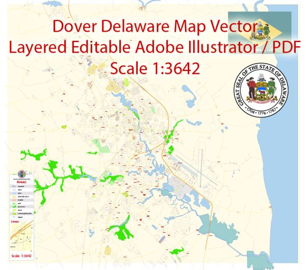
Dover, Delaware, is the capital city of the state and has a transportation system that includes various modes of travel. Here’s a description of the transportation system in Dover:
- Roads and Highways:
- Delaware Route 1 (DE-1): This major highway connects Dover to the Delaware Beaches to the east and the northern parts of the state, providing easy access for residents and tourists alike.
- U.S. Route 13: US-13 runs through Dover and serves as a major north-south corridor connecting Delaware to neighboring states like Maryland and Pennsylvania.
- State Route 8 (DE-8): DE-8 is a significant east-west route in Dover and the surrounding area.
- Public Transit:
- DART First State: Delaware’s statewide public transit agency, DART First State, operates bus services in Dover. DART buses provide transportation within the city and connect Dover to other cities and towns in Delaware.
- Rail Transportation:
- Amtrak: Dover is served by an Amtrak station, providing rail connections to major cities along the Northeast Corridor, including Philadelphia, New York City, and Washington, D.C.
- Air Transportation:
- Dover Air Force Base: Located just outside Dover, this airbase is primarily used by the U.S. military but also has some civilian and cargo services.
- New Castle Airport: This is the closest commercial airport to Dover, located approximately 40 miles north in New Castle, Delaware. It provides access to domestic and international flights.
- Bicycling and Walking:
- Dover has made efforts to become more pedestrian and cyclist-friendly. It has developed bike lanes and pedestrian pathways to encourage non-motorized transportation within the city.
- Ridesharing and Taxis:
- Ridesharing services like Uber and Lyft are available in Dover, providing convenient transportation options.
- Taxis are also available for on-demand transportation within the city.
- Car Rentals:
- Various car rental companies operate in Dover, offering rental services for those who prefer to drive themselves.
- Port Access:
- While Dover does not have a major seaport, it is relatively close to the ports of Wilmington and Philadelphia, providing access to maritime transportation and cargo services.
Dover’s transportation system offers a mix of options for residents and visitors to get around the city and connect to other regions in Delaware and neighboring states. The road network, public transit, and proximity to major transportation hubs make it relatively accessible for both local commuting and long-distance travel.


 Author: Kirill Shrayber, Ph.D. FRGS