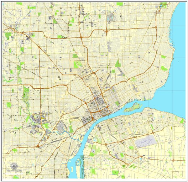
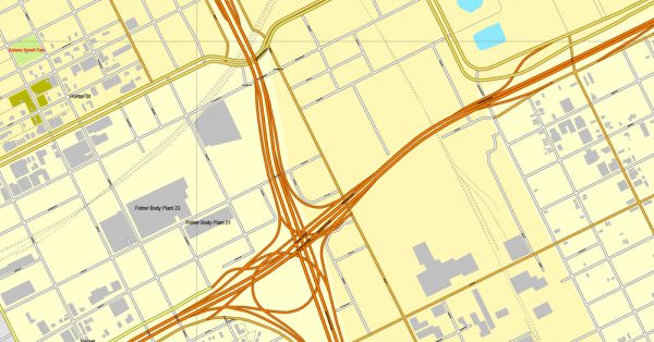
Detroit, Michigan, has a diverse and evolving transportation system that caters to the needs of its residents and visitors. The city is known for its historical dependence on the automotive industry, and this influence is still evident in the layout and infrastructure of its transportation system. Here’s a description of the various transportation options available in Detroit:
- Automobiles: Detroit is famously known as the “Motor City,” and driving is the most common mode of transportation. The city has an extensive road network, including several major highways and expressways, such as I-94, I-75, and I-96. However, traffic congestion can be an issue during peak hours.
- Public Transit: The city’s public transit system is managed by the Detroit Department of Transportation (DDOT) and the Suburban Mobility Authority for Regional Transportation (SMART). DDOT primarily serves the city, while SMART covers the broader metropolitan area, including the suburbs. Bus services are available throughout the city and surrounding areas.
- People Mover: Detroit has a unique downtown automated people mover system known as the Detroit People Mover. This elevated train-like system provides a convenient way to get around downtown Detroit, with stops at key attractions, sports venues, and business districts.
- Light Rail: The QLine is a modern streetcar system that connects downtown Detroit with the New Center area. It runs along Woodward Avenue, serving various cultural, retail, and entertainment destinations.
- Bicycling: Detroit has been working on improving its bike infrastructure with dedicated bike lanes, bike-sharing programs, and initiatives to make the city more bicycle-friendly. The Dequindre Cut and the RiverWalk are popular cycling paths in the city.
- Walking: In some parts of the city, particularly downtown and its surrounding neighborhoods, walking can be a pleasant way to explore and get around. The city has made efforts to improve pedestrian infrastructure and safety.
- Ride-Sharing: Services like Uber and Lyft are widely available in Detroit, providing an easy and convenient way to get around the city.
- Taxis: Traditional taxi services are also available, but they are less commonly used than ride-sharing options.
- Detroit Metropolitan Airport: Detroit Metropolitan Wayne County Airport (DTW) is the primary international airport serving the Detroit metropolitan area. It’s located in the suburb of Romulus and is one of the busiest airports in the United States.
- Rail Service: Amtrak offers rail service to and from Detroit through the Detroit Amtrak station, providing connections to cities like Chicago and Pontiac.
- Ferries: Detroit has several ferries that operate across the Detroit River, connecting the city to Windsor, Ontario, Canada.
It’s important to note that Detroit’s transportation system has been evolving, with ongoing efforts to improve public transit, reduce traffic congestion, and promote alternative modes of transportation. The city’s transportation landscape continues to adapt to the changing needs of its residents and the growing interest in sustainable and efficient mobility options.


 Author: Kirill Shrayber, Ph.D. FRGS