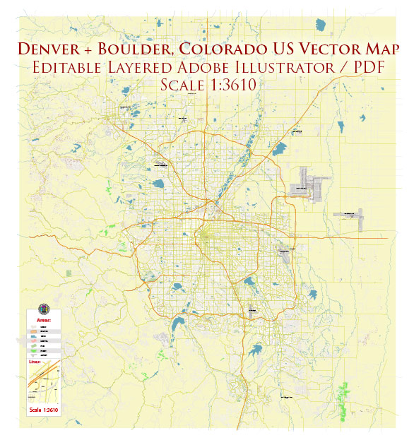
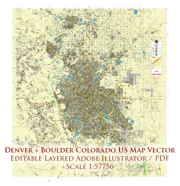
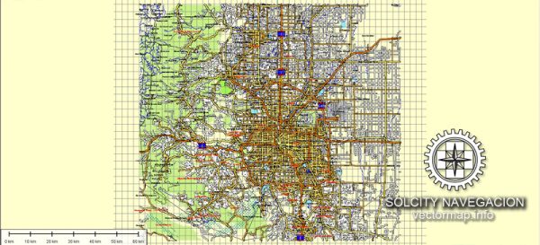
Denver and Boulder are two cities located in Colorado, USA, and they are part of the Denver metropolitan area. The transportation system in this region is well-developed and offers a variety of options for getting around. Here’s a description of the transportation system in Denver and Boulder:
- Public Transportation:
- Regional Transportation District (RTD): The RTD is the primary public transportation provider for the Denver-Boulder region. It operates an extensive network of buses, light rail, commuter rail, and special services. Buses and light rail services connect various neighborhoods and suburbs to downtown Denver and Boulder.
- Light Rail: The RTD’s light rail system serves both Denver and its suburbs. It’s an efficient way to travel within the city and nearby areas, including the Denver International Airport.
- Commuter Rail: Commuter rail services like the A Line and B Line connect Denver to its suburbs, making it easier for people to live in areas like Aurora and commute to the city.
- Bicycling:
- Denver and Boulder are known for their bike-friendly infrastructure. Both cities have a network of bike lanes, bike-sharing programs, and scenic trails. Biking is a popular mode of transportation, especially during the warmer months.
- Cars:
- Like many American cities, Denver and Boulder have well-maintained road networks. However, traffic congestion can be an issue during rush hours. Both cities offer ample parking options, including metered street parking, parking garages, and private lots.
- Ridesharing Services:
- Services like Uber and Lyft are widely available in both cities, offering convenient transportation options for those who don’t have access to a car or prefer not to drive.
- Walking:
- Many neighborhoods in both cities are pedestrian-friendly, with sidewalks and crosswalks. In Boulder, in particular, the downtown area is highly walkable.
- Denver International Airport (DIA):
- DIA is the main airport serving the region and is located northeast of Denver. It is one of the busiest airports in the United States and offers a range of domestic and international flights. The airport is well-connected to the city center by the A Line commuter rail.
- Interstate Highways:
- Denver is strategically located at the intersection of several major interstate highways, including I-25, I-70, and I-76. These highways make it easy to access the city and travel to nearby destinations.
- Mountain Transportation:
- Given the proximity to the Rocky Mountains, there are also options for traveling to mountain resorts and outdoor destinations. Shuttle services and buses connect Denver to popular skiing and hiking areas in the mountains.
Overall, the transportation system in Denver and Boulder is designed to offer a range of choices to residents and visitors, with an emphasis on public transportation, bicycling, and pedestrian options to reduce the reliance on personal vehicles and alleviate traffic congestion.


 Author: Kirill Shrayber, Ph.D.