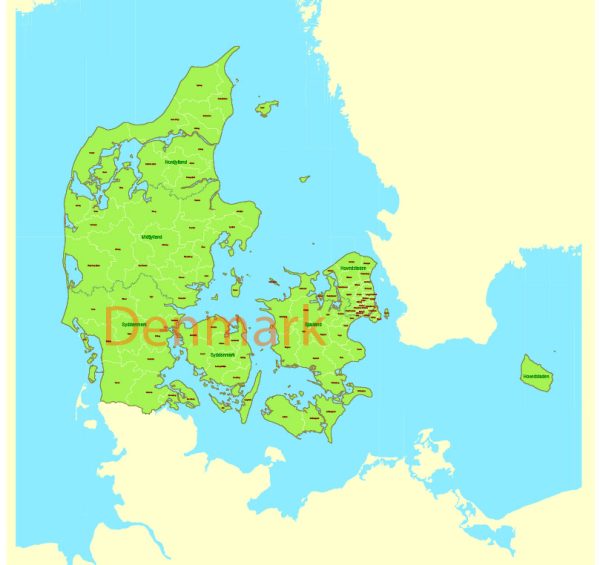
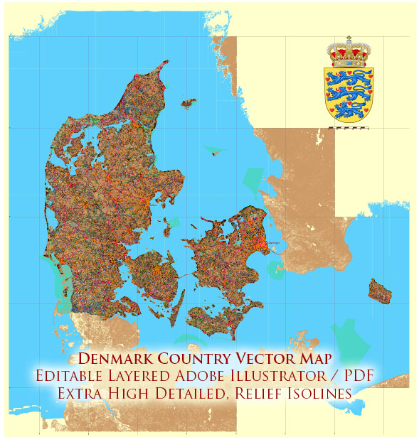
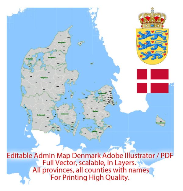
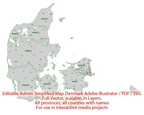
Denmark is a Scandinavian country located in Northern Europe, and it is known for its unique geography and extensive water resources. Denmark’s water resources and bridges play a significant role in the country’s infrastructure and daily life. Here are some key points about Denmark’s water resources and bridges:
Water Resources:
- Coastal Geography: Denmark is a low-lying country with a coastline that stretches for approximately 7,300 kilometers, making it a nation closely connected to the sea.
- Groundwater: Denmark is known for its abundant groundwater resources. The country relies on groundwater for drinking water, agriculture, and industrial use. The groundwater is generally of high quality and is carefully managed to prevent contamination.
- Lakes and Rivers: Denmark has numerous lakes and rivers, although they are relatively small compared to the country’s size. Some of the larger rivers include the Gudenå, Skjern, and Vidå rivers.
- The North Sea and Baltic Sea: Denmark is situated between the North Sea to the west and the Baltic Sea to the east, providing the country with access to international shipping routes.
- Fjords: Although Denmark does not have the dramatic fjords of neighboring Norway, it does have smaller, more sheltered fjord-like inlets along its coasts, such as the Limfjord in Jutland.
Bridges:
- Denmark is renowned for its impressive and innovative bridge engineering. Some of the notable bridges in Denmark include:
- The Great Belt Bridge (Storebæltsbroen): This bridge connects the Danish islands of Funen and Zealand, spanning the Great Belt strait. It is one of the longest suspension bridges in the world and plays a crucial role in connecting the eastern and western parts of Denmark.
- The Øresund Bridge (Øresundsbroen): This combined bridge and tunnel system connects Copenhagen, Denmark, to Malmö, Sweden, across the Øresund strait. It is an engineering marvel and has greatly facilitated transportation and trade between the two countries.
- The Little Belt Bridge (Lillebæltsbroen): This bridge connects the Jutland Peninsula to the island of Funen, spanning the Little Belt strait.
- Denmark’s extensive use of bridges is due to its archipelagic nature and the need to connect the numerous islands within the country. These bridges have significantly improved transportation and trade within Denmark.
- In addition to these major bridges, Denmark has numerous smaller road and railway bridges that connect islands and regions across the country.
Denmark’s water resources and bridges are integral to the country’s economic and social infrastructure. They have contributed to the efficient movement of goods and people, as well as the management of water resources in a nation that is highly susceptible to the impacts of rising sea levels and coastal flooding.


 Author: Kirill Shrayber, Ph.D.