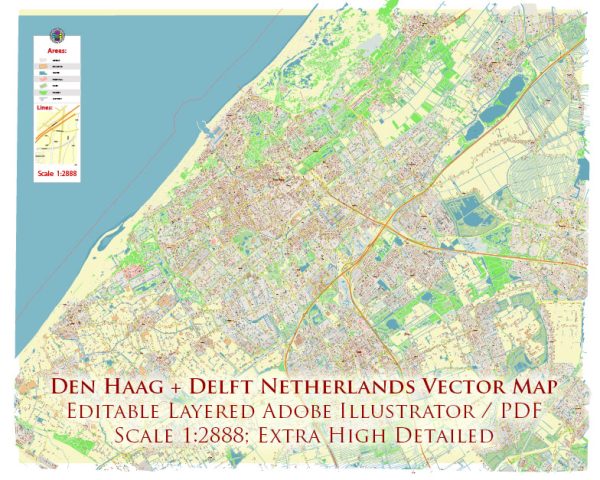
The transport system in the Netherlands, particularly in the cities of Den Haag (The Hague) and Delft, is well-developed, efficient, and known for its emphasis on cycling, public transportation, and urban planning. Here’s a description of the transport system in both cities:
Den Haag (The Hague):
- Trams: The Hague has an extensive tram network, with trams being a popular mode of public transportation. Trams connect various parts of the city, making it easy to get around.
- Buses: The city also has an extensive bus network that complements the tram system. Buses serve areas not covered by trams and provide connections to nearby towns and cities.
- Cycling: The Hague is very bike-friendly, with numerous dedicated cycling lanes and bike-sharing schemes. Many residents and visitors choose to cycle as it’s a convenient and environmentally friendly way to get around.
- Trains: The Hague is well-connected to the Dutch rail network. The city has several train stations, including Den Haag Centraal, which provides excellent connections to other major Dutch cities and international destinations.
- Light Rail: The RandstadRail is a light rail system that connects The Hague to neighboring cities like Rotterdam and Zoetermeer, offering a fast and efficient means of transportation.
- Taxis and Ride-Sharing: Taxis and ride-sharing services like Uber are also available for those who prefer on-demand transportation.
Delft:
- Bicycles: Delft is a compact and charming city, known for its historical architecture and canals. Bicycles are the most popular mode of transportation among locals and students, given the city’s small size and bicycle-friendly infrastructure.
- Walking: Due to its compact nature, Delft is very walkable, and many people prefer to explore the city on foot.
- Trains: Delft has a centrally located train station, Delft Centraal, which is well-connected to other Dutch cities, including The Hague and Rotterdam. It’s a key transportation hub for those commuting to and from Delft.
- Buses: Local and regional buses serve Delft, providing additional transportation options for getting around the city and its surroundings.
- Cars: While cars are not as commonly used for daily commuting within the city center, there are road networks and parking facilities available for those who prefer driving.
- Taxis: Taxis are available in Delft, though they are not as commonly used for short trips within the city.
Both cities are part of the Randstad metropolitan area, which includes several major Dutch cities and towns. The public transportation system in this region is well-integrated, making it relatively easy to travel between cities in the Netherlands. The emphasis on cycling and public transport helps reduce congestion and promotes sustainable urban mobility.


 Author: Kirill Shrayber, Ph.D. FRGS