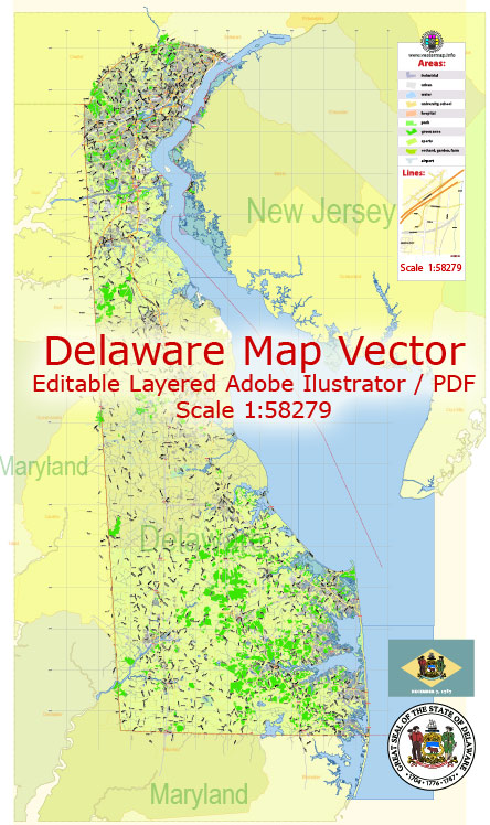
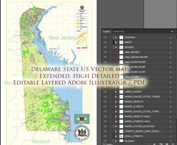
Delaware, a small state located on the East Coast of the United States, has a well-developed transportation system that includes highways, public transit, railways, and airports. Here is a description of the state’s transportation system:
- Road Transportation:
- Highways: Delaware is known for its extensive highway network, which is vital for both local and regional transportation. The primary highway in the state is Interstate 95, which runs north-south and connects Delaware to neighboring states, such as Maryland and Pennsylvania. Other important highways include I-495, I-295, and various U.S. and state routes.
- Tolls: Delaware is one of the few states in the U.S. with no sales tax, and it partially funds its transportation infrastructure through tolls on some of its major highways and bridges.
- Public Transit:
- DART First State: Delaware’s public transit system is operated by the Delaware Transit Corporation (DART). It includes bus services that connect various parts of the state, making it relatively easy to get around. DART also operates paratransit services for individuals with disabilities.
- Rail Transportation:
- Amtrak: Amtrak’s Northeast Corridor line serves several stations in Delaware, including Wilmington, Newark, and Salisbury. This provides convenient rail travel options for residents and visitors heading to major cities like Philadelphia, New York City, and Washington, D.C.
- Freight Rail: Delaware is well-connected to the national freight rail network, with several rail lines facilitating the movement of goods within the state and beyond.
- Air Transportation:
- Delaware has two primary airports:
- New Castle Airport (ILG): Located near Wilmington, this airport primarily serves general aviation and charter flights.
- Wilmington Airport (ILG): This airport handles cargo and general aviation flights.
- For commercial air travel, many residents and visitors use airports in nearby cities such as Philadelphia International Airport (PHL) and Baltimore/Washington International Thurgood Marshall Airport (BWI).
- Delaware has two primary airports:
- Ports and Waterways:
- Delaware has a significant maritime presence due to the Delaware River and Delaware Bay. The Port of Wilmington is a major deepwater port, handling a variety of cargo, including containers, automobiles, and bulk goods.
- Cycling and Pedestrian Infrastructure:
- Delaware has been making efforts to improve cycling and pedestrian infrastructure, including dedicated bike lanes, trails, and pedestrian-friendly areas in some cities and towns.
- Ridesharing and Transportation Network Companies (TNCs):
- Ridesharing services like Uber and Lyft are widely available in Delaware, providing an additional option for residents and tourists to get around.
Delaware’s transportation system is designed to accommodate both the daily commuting needs of its residents and the movement of goods and services. While it may not be as extensive as transportation systems in larger states, it effectively serves the state’s population and supports its economy.


 Author: Kirill Shrayber, Ph.D. FRGS