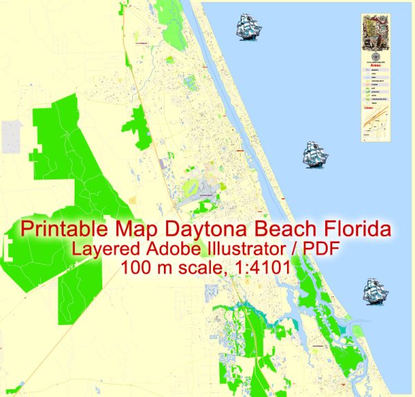
Daytona Beach, Florida, has a transportation system that caters to both residents and tourists, offering various options for getting around the city and its surrounding areas. Here’s an overview of the transportation system in Daytona Beach:
- Road Network: Daytona Beach is well-connected by a network of roads and highways. Interstate 95 (I-95) runs along the western side of the city, providing a major north-south route for travelers. Interstate 4 (I-4) connects Daytona Beach to Orlando and other parts of Florida.
- Daytona Beach International Airport: The city is served by the Daytona Beach International Airport (DAB), located just a few miles from the city center. This airport provides domestic flights, making it convenient for travelers to access the city.
- Public Transportation: The Volusia County Public Transit System (Votran) serves the Daytona Beach area with a network of bus routes. Votran buses are a primary mode of public transportation for both residents and tourists, connecting various parts of the city and the surrounding region.
- Taxis and Rideshares: Taxis and ridesharing services like Uber and Lyft are readily available in Daytona Beach, providing convenient transportation options for those who prefer door-to-door service.
- Bicycling: Daytona Beach is relatively bicycle-friendly, with bike lanes and paths in some areas. The city has taken steps to improve its bike infrastructure, making it easier for residents and visitors to bike around town.
- Walking: In the tourist areas, such as the Daytona Beach Boardwalk and the beach itself, walking is a popular mode of transportation. These areas are designed to be pedestrian-friendly, allowing people to explore on foot.
- Car Rentals: Rental car agencies are prevalent in Daytona Beach, making it easy for visitors to rent a car for the duration of their stay. This option provides flexibility in exploring the city and its surroundings.
- SunRail: While not directly in Daytona Beach, the SunRail commuter rail system connects nearby cities like DeBary and Deland to Orlando. Visitors can use this service to travel to and from the area.
- Cruise Port: Daytona Beach is located relatively close to Port Canaveral, one of Florida’s major cruise ports. If you’re taking a cruise, you can easily access the port from Daytona Beach via shuttle services or rental cars.
- Events and Special Transportation: During major events like the Daytona 500 or Bike Week, the city often provides special event shuttles and transportation to help manage the increased demand.
In general, Daytona Beach’s transportation system is well-developed, making it convenient for both residents and tourists to get around the city and access nearby attractions and destinations. Whether you prefer to drive, use public transit, or rely on rideshares, there are various options to suit your transportation needs.


 Author: Kirill Shrayber, Ph.D. FRGS