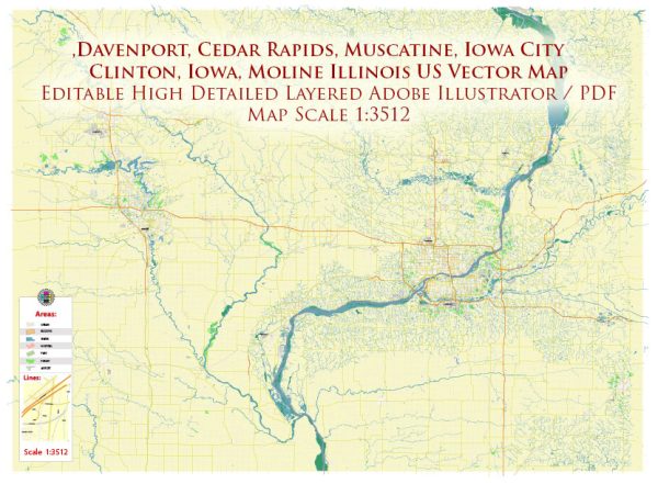
Davenport, Iowa, is a city located along the Mississippi River in the United States. The city’s water resources and bridges play a crucial role in its transportation, commerce, and overall infrastructure. Here’s some information about Davenport’s water resources and bridges:
- Mississippi River: Davenport’s most prominent water resource is the Mississippi River. The city is located on the eastern bank of the river, which serves as a major waterway for transportation and commerce. The Mississippi River provides access to a significant inland water transportation network, connecting Davenport to other cities along the river and beyond.
- Riverfront: Davenport’s riverfront area is a significant part of the city’s culture and economy. It features parks, recreational areas, and scenic views of the Mississippi River. The riverfront has been developed to attract residents and tourists alike, contributing to the city’s quality of life.
- Bridges: Davenport is known for its many bridges that cross the Mississippi River and connect it to Illinois. Some of the notable bridges in the area include:a. Centennial Bridge: This bridge, also known as the Rock Island Centennial Bridge, connects Davenport, Iowa, to Rock Island, Illinois. It is a vital transportation link between the two states and provides a key route for commuters and freight.
b. Government Bridge: This is another important bridge connecting Davenport and Rock Island. It’s primarily used for railway traffic and has a lift span to accommodate river traffic.
c. Arsenal Bridge: The Arsenal Bridge connects Davenport to the Rock Island Arsenal, an active military installation. It is an important access point to the island.
d. I-74 Bridge: The new I-74 Mississippi River Bridge is a major infrastructure project that replaced the aging I-74 Bridge, enhancing traffic flow and safety between Iowa and Illinois.
These bridges are essential for residents, businesses, and visitors as they facilitate transportation and commerce across the Mississippi River.
Overall, Davenport’s water resources, particularly the Mississippi River, and its network of bridges are critical elements of the city’s infrastructure and are central to its economic and social life. They play a pivotal role in the transportation of goods and people, as well as providing recreational opportunities and scenic beauty.


 Author: Kirill Shrayber, Ph.D. FRGS