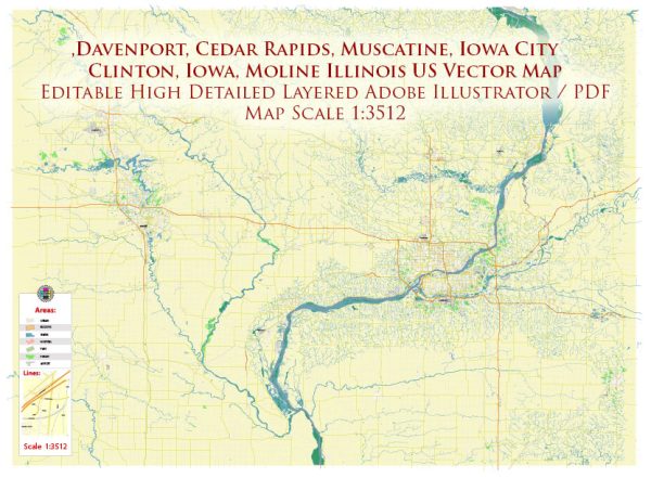
Information about the principal streets in Davenport, Iowa, United States. General information about a few principal streets in Davenport. Please note that this information may have changed, so it’s a good idea to consult a local map or city government resources for the most up-to-date information:
- Brady Street: Brady Street is one of the main north-south thoroughfares in Davenport. It runs through the downtown area and is home to various businesses, restaurants, and entertainment venues.
- River Drive: River Drive runs along the Mississippi River and offers scenic views. It is an important east-west route, connecting various neighborhoods and parks.
- Harrison Street: Harrison Street is another significant north-south street, and it intersects with several other key roads. It’s home to both residential areas and commercial developments.
- Locust Street: Locust Street is an important east-west corridor running through Davenport, providing access to many parts of the city.
- Kimberly Road: Kimberly Road is a major east-west thoroughfare in the northern part of Davenport, with numerous businesses, shopping centers, and restaurants.
- Division Street: Division Street is a notable north-south street that helps connect the western and eastern parts of the city.
- Eastern Avenue: Eastern Avenue is another north-south street that runs through various neighborhoods and commercial areas in Davenport.
Please keep in mind that this information is based on my last knowledge update, and there may have been changes or developments in the city’s road infrastructure since then. For the most current information about principal streets and their descriptions in Davenport, I recommend checking with the city government or using a local map or GPS service.


 Author: Kirill Shrayber, Ph.D. FRGS