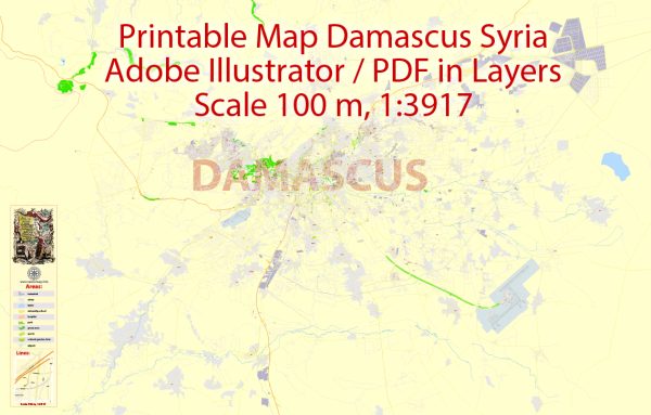
Damascus, the capital of Syria, is one of the oldest continuously inhabited cities in the world, with a history dating back thousands of years. Its ecological description encompasses both natural and urban features:
- Geography: Damascus is situated in a fertile oasis in southwestern Syria, at the foothills of the Anti-Lebanon Mountains. The city is bisected by the Barada River, which has historically been a crucial source of water for both agriculture and urban use.
- Climate: Damascus has a semi-arid climate. Summers are hot and dry, with temperatures often exceeding 100°F (37°C), while winters are mild and wet, with average temperatures in the 40s and 50s°F (5-15°C). Rainfall is relatively low, and most precipitation occurs during the winter months.
- Vegetation: The natural vegetation in and around Damascus includes scrubland, steppe, and dry grasses, adapted to the semi-arid conditions. The city’s gardens and parks, including the famous Ghouta Gardens, feature various ornamental plants and trees. The Barada River and its tributaries have historically supported agriculture and greenery in the area.
- Urban Development: Damascus is known for its historic and intricate urban layout, including the Old City, which is a UNESCO World Heritage Site. The city’s architecture features traditional elements like courtyards, narrow winding streets, and sandstone buildings. However, urbanization and modernization have led to the construction of more contemporary buildings and infrastructure.
- Agriculture: The Barada River has played a significant role in supporting agriculture in the region. Traditional crops include wheat, barley, cotton, and fruits like apples, figs, and grapes. The nearby Ghouta region has historically been a fertile agricultural area, although it has faced environmental challenges due to over-exploitation of water resources and urban expansion.
- Environmental Issues: Like many cities in the Middle East, Damascus faces environmental challenges. The city has dealt with issues such as water scarcity, air pollution, and land degradation due to urbanization and increased demand for resources. The ongoing conflict in Syria has exacerbated these problems and disrupted efforts to address environmental issues.
- Biodiversity: While Damascus itself is not known for its biodiversity, Syria, as a whole, is home to a variety of wildlife, including species like the Syrian brown bear, Arabian oryx, and various bird species. Conservation efforts are ongoing to protect the country’s natural habitats.
In recent years, the ongoing conflict and political instability in Syria have significantly impacted the city and its ecology. Access to clean water, electricity, and basic services has been disrupted, which has further strained the city’s environment and its ability to support its population.


 Author: Kirill Shrayber, Ph.D. FRGS