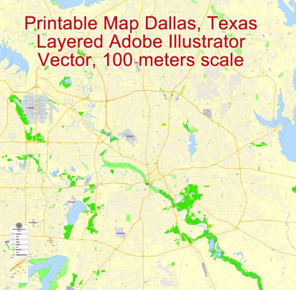
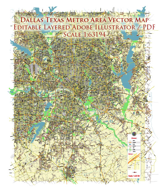
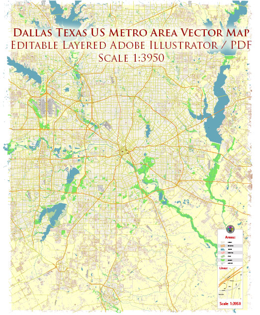
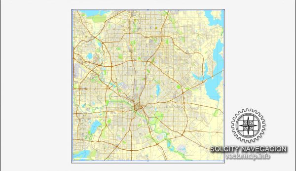
Dallas, Texas has a diverse and extensive transportation system that serves its urban and suburban areas. The city’s transportation infrastructure includes a combination of highways, public transit, airports, and various alternative transportation options. Here’s an overview of the transportation system in Dallas:
- Highways and Roads:
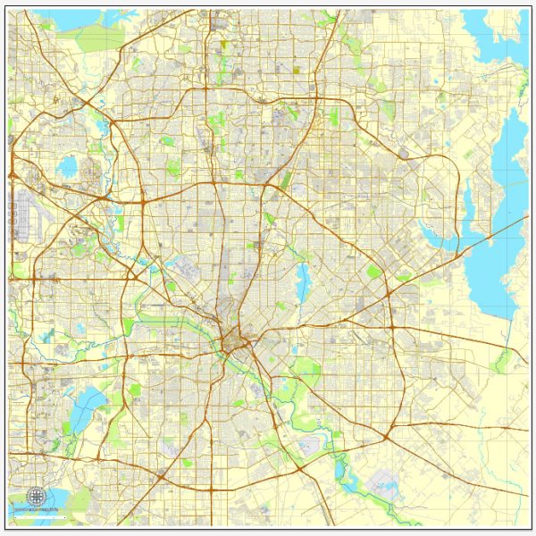
- Dallas is known for its extensive highway system. The major highways in the area include Interstates 20, 30, 35E, and 45, as well as several state highways.
- The Lyndon B. Johnson Freeway (I-635) forms a loop around the city, while the President George Bush Turnpike and the Sam Rayburn Tollway are significant toll roads that help ease traffic congestion.
- The High Five Interchange, one of the largest freeway interchanges in the U.S., connects I-635 and US Route 75.
- Public Transit:
- Dallas Area Rapid Transit (DART) operates the city’s public transit system. It includes buses, light rail, commuter rail, and paratransit services.
- The DART light rail system serves Dallas and surrounding cities with several lines, including the Red Line, Blue Line, Green Line, and Orange Line. The light rail system provides an efficient means of commuting within the city.
- DART also operates the Trinity Railway Express (TRE), a commuter rail line connecting Dallas to Fort Worth.
- Airports:
- Dallas/Fort Worth International Airport (DFW) is one of the busiest and largest airports in the United States. It serves as a major hub for domestic and international flights.
- Dallas Love Field (DAL) is another airport in the city, primarily serving domestic flights. It’s located closer to downtown Dallas.
- Cycling and Pedestrian Infrastructure:
- Dallas has been investing in improving its cycling and pedestrian infrastructure, including dedicated bike lanes and trails. The Katy Trail and White Rock Lake Trail are popular options for cyclists and joggers.
- The city has initiated efforts to become more pedestrian-friendly, especially in its urban core.
- Ridesharing and Taxis:
- Ridesharing services like Uber and Lyft are widely available in Dallas.
- Traditional taxi services are also available for transportation.
- Car Rentals:
- Various car rental agencies operate in Dallas, offering a convenient option for travelers and residents.
- Amtrak:
- Dallas is connected to the national rail network through an Amtrak station located in the city. The Texas Eagle line serves this station, providing rail service to cities such as Chicago and San Antonio.
- Intercity Bus Services:
- Intercity bus services, including Greyhound and Megabus, provide transportation options for those traveling to and from Dallas.
- Transportation Apps:
- Mobile apps for public transit, ridesharing, and parking are widely used in Dallas to help residents and visitors navigate the city.
Overall, Dallas offers a mix of transportation options to accommodate the needs of its residents and visitors, from a well-developed highway system to an expanding public transit network, cycling infrastructure, and various alternative transportation choices. However, traffic congestion can be an issue during peak hours, so planning your routes and transportation options is advisable.

 Author: Kirill Shrayber, Ph.D. FRGS