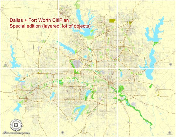
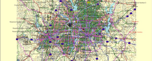
Dallas-Fort Worth (DFW) is a large metropolitan area in Texas, and it consists of several cities and towns, including Dallas, Fort Worth, Arlington, Plano, and more. There are many principal streets and highways that crisscross this region, serving as major arteries for transportation. Here’s a description of some of the most significant streets and highways in the DFW area:
- Interstate 35E (I-35E): I-35E runs north-south through the eastern part of the DFW metroplex. It’s a major highway connecting Dallas with Denton, passing through cities like Lewisville and Carrollton.
- Interstate 30 (I-30): I-30 is an east-west highway that connects Fort Worth and Dallas. It’s a critical route for commuters and travelers between the two major cities.
- North Central Expressway (US 75): US 75, also known as Central Expressway, is a major north-south route through Dallas. It connects downtown Dallas with Plano and the northern suburbs.
- LBJ Freeway (I-635): I-635, locally known as the LBJ Freeway, forms a loop around the northern and western parts of Dallas. It’s a vital beltway that intersects with several other highways.
- George Bush Turnpike (PGBT or SH 190): This is a tolled highway that loops around the northern and eastern suburbs of Dallas. It provides an efficient route for commuters.
- Sam Rayburn Tollway (SH 121): The Sam Rayburn Tollway connects the western and northern suburbs to DFW Airport. It’s an important route for travelers to and from the airport.
- Arlington’s Division Street: Division Street runs through the heart of Arlington, connecting major attractions like AT&T Stadium (home of the Dallas Cowboys) and Globe Life Field (home of the Texas Rangers).
- Fort Worth’s West 7th Street: West 7th Street is a lively urban district in Fort Worth known for its entertainment, dining, and cultural attractions.
- Fort Worth’s Main Street: Main Street in downtown Fort Worth is famous for its historic charm, cultural events, and the Sundance Square Plaza.
- Dallas’s Greenville Avenue: Greenville Avenue is known for its vibrant nightlife, restaurants, and shopping, particularly in the Lower Greenville area.
- Fort Worth’s Camp Bowie Boulevard: Camp Bowie Boulevard is a major east-west thoroughfare in Fort Worth, known for its shopping and dining options.
- Arlington’s Collins Street: Collins Street is a major north-south road in Arlington, home to numerous businesses, shops, and restaurants.
These are just a few of the principal streets and highways in the Dallas-Fort Worth area. The metroplex has an extensive road network designed to accommodate the needs of its growing population and visitors. It’s important to note that the DFW area is known for its highway infrastructure, making it relatively easy to get around the region by car.


 Author: Kirill Shrayber, Ph.D.